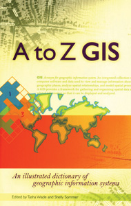
A TO Z GIS
An Illustrated Dictionary of Geographic Information Systems
Paperback
Connect with a representative to create a custom curriculum for your district.
Written, developed, and reviewed by more than 150 subject-matter experts, this dictionary provides 1800 terms with definitions, 400 full-color illustrations, and seven encyclopedia-style articles on special topics as applied to GIS.
Subjects covered include remote sensing, geometry, topology, layers, projected versus coordinate systems, text in maps, and storing features and feature attributes.
| Copyright | 2006 |
|---|---|
| Publisher | ESRI |
| Pages | 268 |
| Grade | 7 and up |
| ISBN | 9781589481404 |

