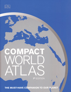
COMPACT WORLD ATLAS
The Must-Have Companion to Our Planet
Paperback atlas
Connect with a representative to create a custom curriculum for your district.
In this accessible general atlas, a political map with shaded relief introduces each continental region, and then a number of physical maps with shaded relief focus on single countries or groups of countries. In the physical maps, colors correlate to elevation, and ocean colors indicate bathymetry.
Map features include national borders, water and ice features, major and minor roads, railways, national and regional capitals, city symbols indicating population ranges, inset maps of selected cities, locator globes, and both alphanumeric and longitudinal-latitudinal location systems. The book also includes a chart of geographical comparisons, country profiles that summarize important national facts and statistics, and an index that doubles as a gazetteer.
| Copyright | 2018 |
|---|---|
| Size | 8½" x 11" |
| Publisher | Dorling Kindersley |
| Pages | 192 |
| Edition | Seventh Edition |
| Grade | 6 and up |
| ISBN | 9781465468864 |

