READINESS CLASS PACK
Grades 2–3
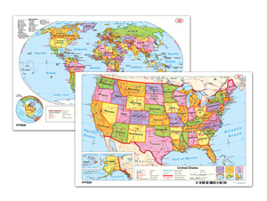
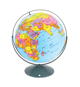
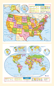
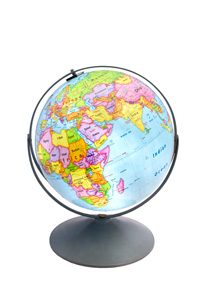
CLASS PACK: 2 maps on 1 roller, backboard, 16" globe in Gyro-disc mount
The legends on both maps explicitly explain how map symbols and conventions work, and both show shaded relief, capital and major cities (with type size denoting population), and include longitude and latitude. The U.S. map shows major highways, and has insets including Alaska, Hawaii, and a locator map; insets on the world map include continents and oceans, north and south polar views, and an "orange peel" illustration showing how a two-dimensional map can represent a three-dimensional globe. Both maps measure 54″h x 65″w and come mounted on one heavy-duty metal spring-roller with a backboard designed for hanging from a map rack or a one-inch map rail (not included). The maps are also available separately. The 16″ 3-D raised-relief globe in the pack comes in a Gyro-disc mount; other mountings and a 12″ size are also available.
| Publisher | Nystrom |
|---|---|
| Grade | 2–3 |
| ISBN | 9780782529159 |