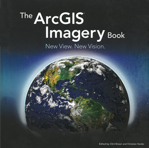
THE ARCGIS IMAGERY BOOK
New View, New Vision
Paperback
Connect with a representative to create a custom curriculum for your district.
Wow, look at all these amazing maps and satellite images! Don't you wish you could make images like that?
This gorgeously illustrated introduction explains all the complex ways that GIS software turns satellite imagery into information, and explains that complexity in simple terms for beginners. Used in conjunction with a companion website, the book also becomes a how-to manual for inexperienced geographers who want to begin learning how to actually do GIS projects. Major topics include the nature of remote sensing, perceiving the imperceptible, turning imagery into information, and managing imagery information.
| Copyright | 2016 |
|---|---|
| Publisher | Esri |
| Pages | 168 |
| Grade | 7 and up |
| ISBN | 9781589484627 |

