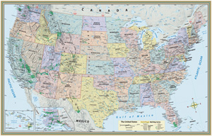
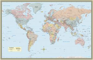
U.S. AND WORLD MAPS
COMPLETE SET: 2 laminated maps
Connect with a representative to create a custom curriculum for your district.
Attractively priced, two laminated poster-style physical-political maps show detailed shaded relief topography even as they use a five-color scheme to distinguish countries or states.
Both maps include latitude and longitude, major rivers, and capital and major cities. The world map is a Gall projection updated through the recognition of South Sudan. The U.S. map includes time zones and major roads.
| Size | 32"h x 50"w |
|---|---|
| Publisher | QuickStudy |


