
UNITED STATES AND WORLD LANDFORM MAP
10 laminated desk maps
Connect with a representative to create a custom curriculum for your district.
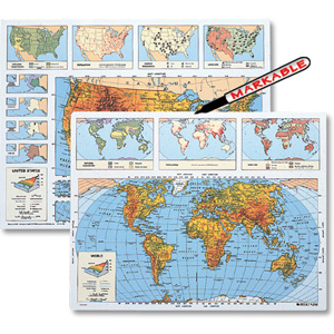
This double-sided desk map shows landforms of the U.S on one side and the world on the other. Colors and symbols denote mountains, hills, forests, rainforests, grasslands, wetlands, deserts, tundra, ice caps, rivers, lakes, islands, highlands, and lowlands. The U.S. map includes insets of Alaska and Hawaii, and state boundaries are lightly sketched in. The world map includes the Equator and the tropics of Capricorn and Cancer. Legends include simple definitions of the terms illustrated by the maps. 14"h x 19½"w. The George F. Cram Company.
| Publisher | Nystrom |
|---|
Related products
-

AROUND THE WORLD IN PHOTOGRAPHS
$29.95 Add to cart -
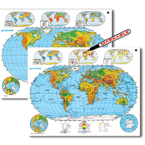
PHYSICAL-POLITICAL WORLD AND U.S. DESK MAP
$39.00 Add to cart -
SCULPTURAL RELIEF WORLD DESK MAP
$39.00 Add to cart -
3-D RAISED-RELIEF POLITICAL WORLD DESK MAP
$32.00 Add to cart -
WORLD HISTORY I
$351.00 Add to cart -

WORLD HISTORY III
$351.00 Add to cart