USING PHYSICAL MAPS
Paperback
Connect with a representative to create a custom curriculum for your district.
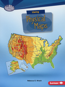
What countries have the most lakes? Where is the highest point in the United States? Students discover how physical maps can be used to answer these questions and more while also learning about landscape features and the meaning of the different colors and symbols on these maps.
This title is part of the series: WHAT DO YOU KNOW ABOUT MAPS?
| Copyright | 2017 |
|---|---|
| Publisher | Lerner |
| Pages | 40 |
| Grade | Intended for grades 3–5 but recommended for visual learners in grades 6–10 |
| ISBN | 9781512412932 |

