
ALASKA DESK MAP
30 Alaska state desk maps
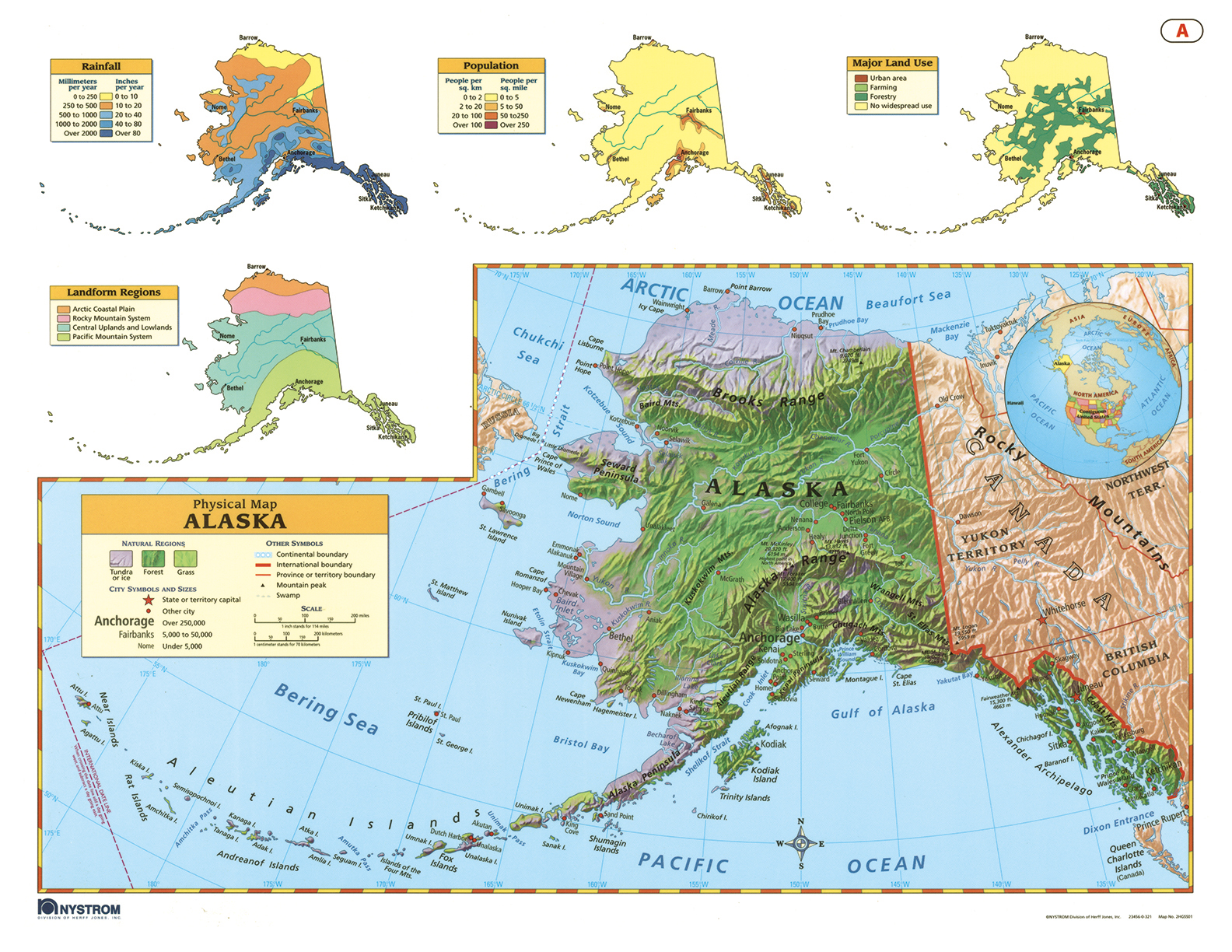
Explore Alaska’s Geography from Desk to Coastline
The Alaska Desk Map gives students a detailed, visual look at the state’s unique physical and political features. One side features a political map with clearly labeled boundaries, cities, highways, and water features. The reverse side offers a map designed to reinforce geography skills in a variety of ways.
Color is used to express elevation, and shaded relief gives shape to Alaska’s dramatic terrain. Insets provide additional context, highlighting population density, land use, annual precipitation, and more. Laminated and markable with wet-erase markers, each map is built for repeated student use.
Sold in packs of 30, each set also includes a 16-page teacher’s guide with reproducible handouts.
Key Features: