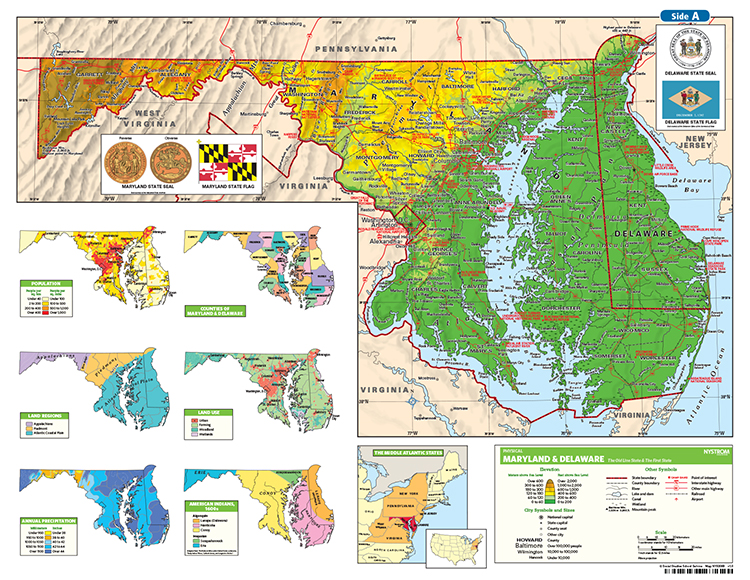
MARYLAND/DELAWARE DESK MAP
30 Maryland state desk maps
Maryland and Delaware: A Two-State Snapshot for Student Desks
The Maryland/Delaware Desk Map gives students a detailed, double-sided view of two neighboring states with rich geography and history. Each side features a different state, with clearly labeled cities, counties, highways, waterways, and more. The reverse side offers a map designed to reinforce geography skills in a variety of ways.
Thematic insets provide additional context—covering topics such as land use, population, historical timelines, and regional significance. These laminated, markable maps are ideal for repeated classroom use and hands-on activities with wet-erase markers.
Each classroom set includes 30 maps and a 16-page teacher’s guide with reproducible student handouts.
Key Features:

