DIGITAL ATLAS
DownloadConnect with a representative to create a custom curriculum for your district.
Twenty maps, covering eras from early civilization to the Cold War, feature switchable layers that display or conceal pertinent information and form the basis for lessons that have students build from a bare, unlabeled map to synthesize historical and geographic knowledge.
For example, the map of Alexander the Great’s conquests up to 323 BCE spans Macedonia to beyond the Hyphasis River, and allows users to turn on and off overlays indicating his armies’ routes, major battle sites, historical regions (e.g., Media, Parthia, Bactria), cities, rivers and deserts, and even the legend. Each standards-based lesson can be conducted as a whole-class or individual activity, and provides an outline version of its corresponding map, overview, enduring understanding(s), essential question(s), procedures, background, assessment, extensions, and student handouts.
The atlas contains the following maps:
- Beginning of Civilization, 8000–900 BCE
- Mesopotamia and Egypt
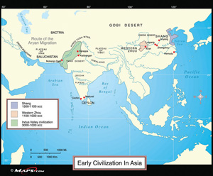
- Early Civilization in Asia
- The Spread of World Religions
- Alexander’s Empire, 323 BCE
- Growth of the Roman Empire
- Eurasia and the Silk Road
- South American States
- Spread of Islam
- Medieval Europe
- Voyages of Exploration
- Asia, 1500
- Europe, 1560
- Europe, 1815
- Imperialism in the Modern World
- Europe, 1914
- Europe, 1918–1939
- Asia, 1930–1941
- Europe After WWII
- Cold War Europe
This title is part of the series: DIGITAL ATLAS
| Copyright | 2010 |
|---|---|
| Publisher | Social Studies School Service |
| Extension | ZIP |
| File Size | 23 MB |