ENCOMPASS: VIEWPOINTS, GR 1
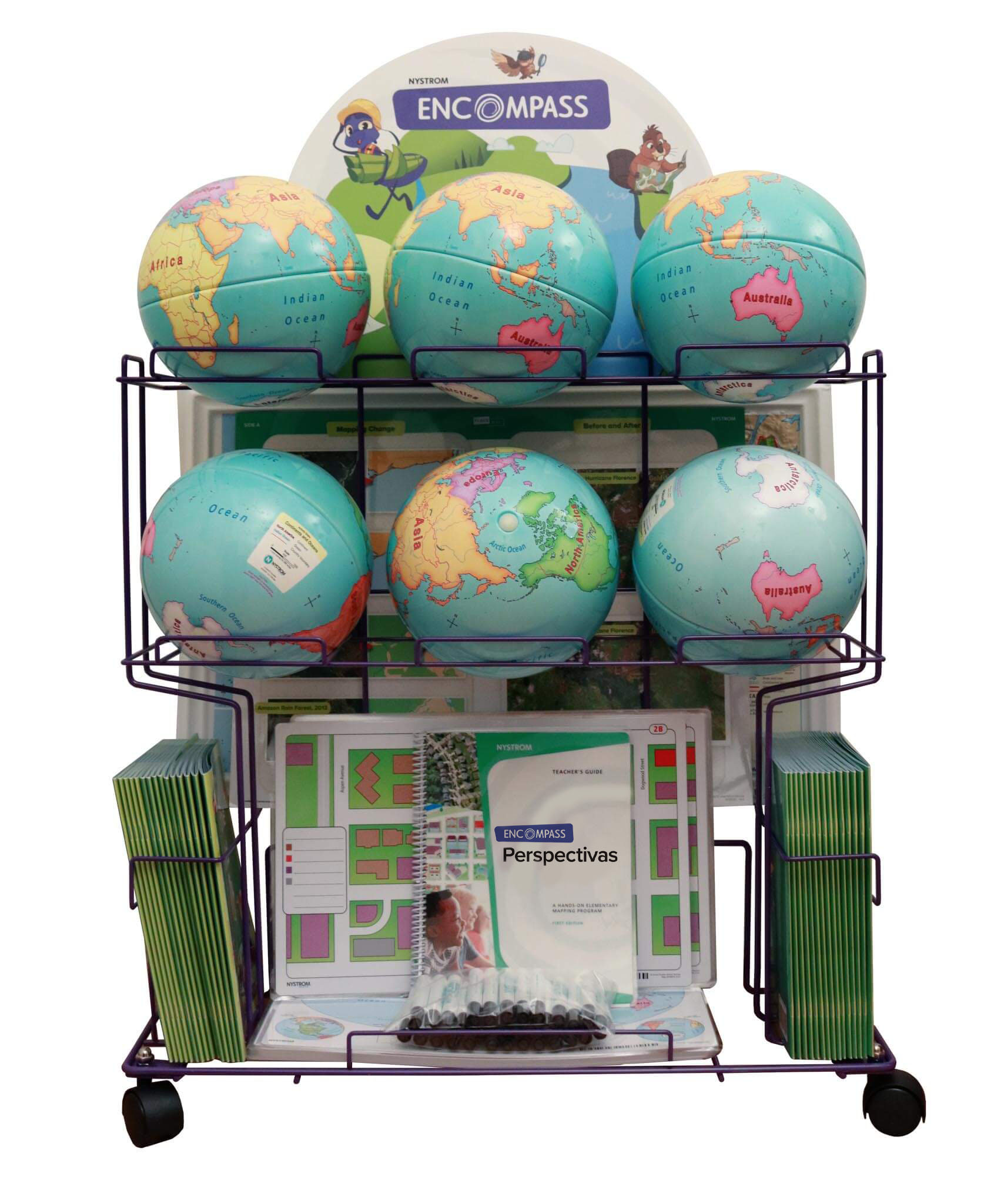
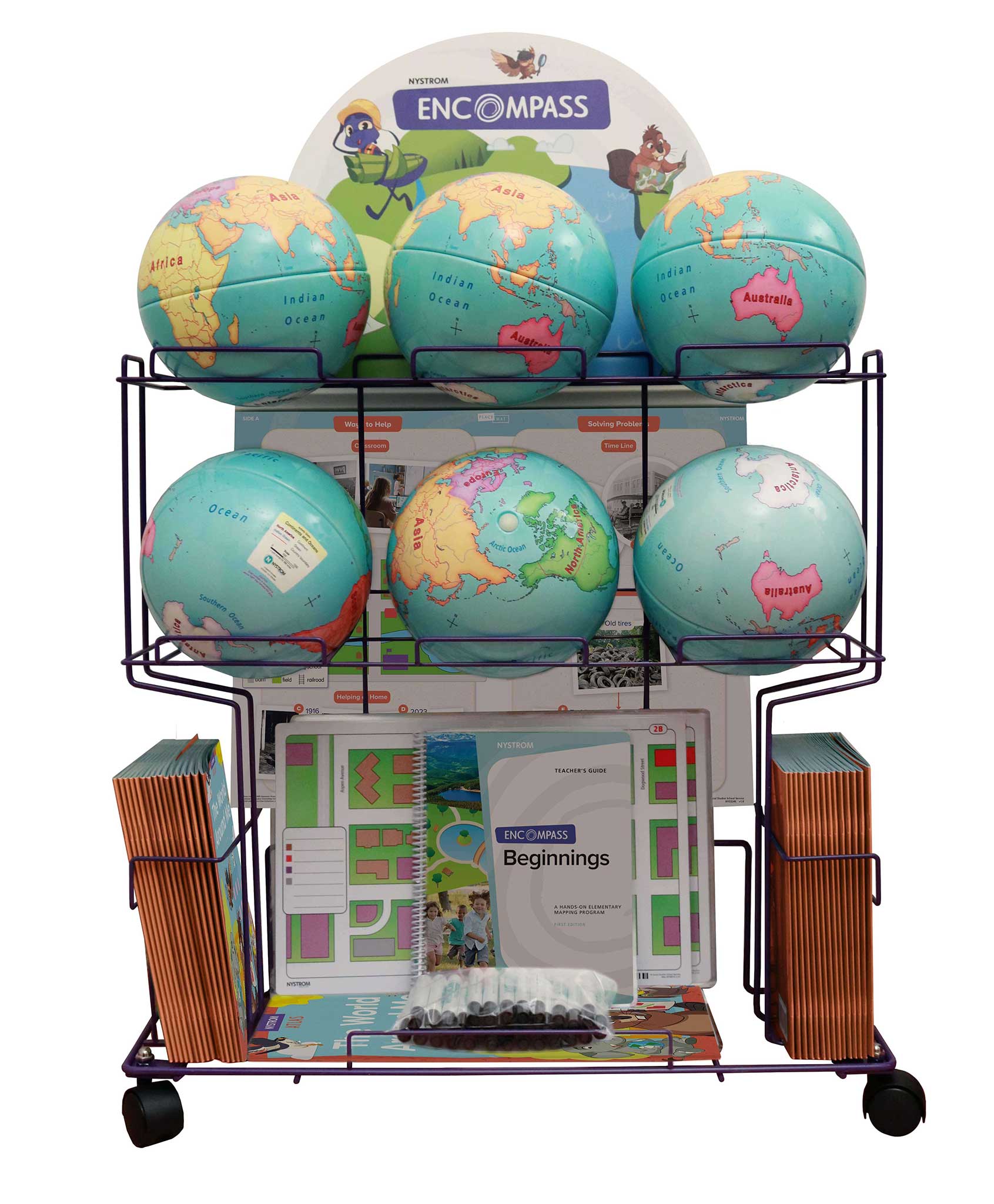
Complete Program Components
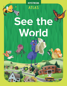
Nystrom See the World Atlas
This 60-page atlas focuses on seeing the world for the first time. The concepts and places we go—from our local neighborhood to countries around the world—are all new.
Features:
Teacher’s Guide
This comprehensive guide provides detailed teaching instructions, reproducible handouts for lessons that link history and geography, and assessments.
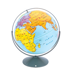
9-inch Activity Globe
The oceans are labeled, and each labeled continent is a different color, with country borders unobtrusively drawn but the countries unlabeled.
Place Mat
Featuring developmentally appropriate primary and secondary sources, these markable Place Mats are designed to help young learners engage with current world issues.
U.S/World Desk Map
The world map names the oceans and distinguishes the continents by color, with national boundary lines drawn but the countries unnamed. The U.S. map names the states. (11″h x 17″w)
U.S. Natural Regions Raised Relief Map
The U.S. map names the natural regions. The map is measured (28 x 18 in)
Wet Erase Markers
The wide-tipped wet erase markers were designed specifically for the program to ensure longevity in the products.
Spanish Complete Program
The complete program is also available for Spanish speaking-students to help with them with problem solving and collaborating while learning social studies content and concepts and developing essential literacy skills, right alongside their English-speaking classmates.
This title is part of the series: ENCOMPASS: VIEWPOINTS, GR 1
| ISBN | 9780782530650 |
|---|
 Sample pages
Related products
-
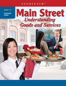
MAIN STREET
$89.95 Add to cart -
16″ EARLY LEARNING RAISED RELIEF GLOBE
$225.00 Add to cart -
NYSTROM SEE THE WORLD ATLAS
$12.95 Add to cart -
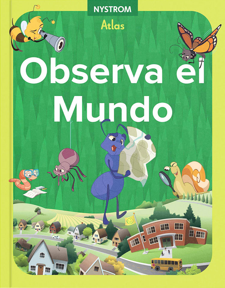
NYSTROM OBSERVA EL MUNDO (SEE THE WORLD)
$12.95 Add to cart -
ENCOMPASS: VIEWPOINTS, GR 1, SPANISH
$1,295.00 Add to cart -
Encompass: Elementary Mapping Program
$1,295.00 Add to cart