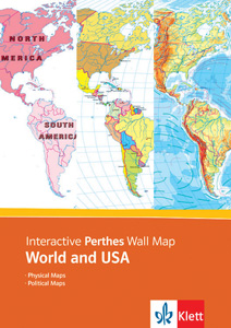
INTERACTIVE PERTHES WALL MAP
Select your Materials
The foundation of the presentation tool rests on ten maps (six political and four physical) designed for three levels of complexity: elementary, intermediate, and advanced. By adding and subtracting layers of information (such as labels, borders, cities, roads, and rivers), the ten original maps can be further customized. Drawing and zoom tools give teachers additional power to customize. Projected on a screen, displayed on a computer, exported to another digital presentation, or printed as handouts, the maps eliminate distractions to show only the features desired at exactly the level of complexity desired. Multiple-user site licenses are available.
This title is part of the series: INTERACTIVE PERTHES MAP AND ATLAS
| Copyright | 2009 |
|---|---|
| Publisher | Klett |

