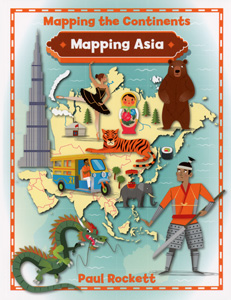
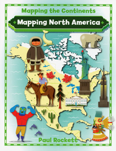
MAPPING THE CONTINENTS
Set of 5 paperbacks
Connect with a representative to create a custom curriculum for your district.
With a mix of infographics, thematic maps, photographs, and explanatory text, these colorful books paint an engaging picture of each continent's culture.
Topics explored by two-page spreads include:
- Borders
- Culture
- Climate
- Food and Drink
- Industry
- Landmarks
- Population
- Settlements
- Sports
- Wildlife
As they learn about each continent, students strengthen their analytical skills by interpreting different types of maps.
| Copyright | 2017 |
|---|---|
| Publisher | Crabtree |
| Pages | 32 pages each |
| Grade | Intended for grades 3–6 but also recommended for visual learners in grades 6–12. |
Indexes


