MASSACHUSETTS DESK MAP
30 state desk maps
Massachusetts: A Compact Map with Coastal Character
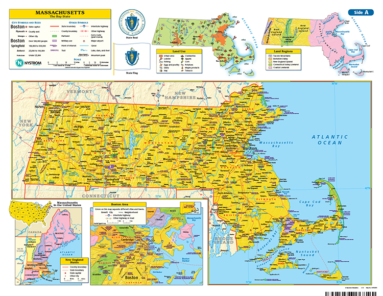
The Massachusetts Desk Map gives students a detailed and colorful look at the Bay State’s physical and political geography. One side features a labeled political map with cities, towns, counties, highways, and major physical features. The reverse side offers a map designed to reinforce geography skills in a variety of ways.
Color-coded elevation and shaded relief provide geographic context, while thematic insets highlight land use, population density, land regions, and the Boston metro area. Laminated for durability and markable with wet-erase markers, it’s a practical and engaging tool for everyday instruction.
Each classroom set includes 30 maps and a 16-page teacher’s guide with reproducible student handouts.
Key Features:


