
NEBRASKA DESK MAP
30 state desk maps
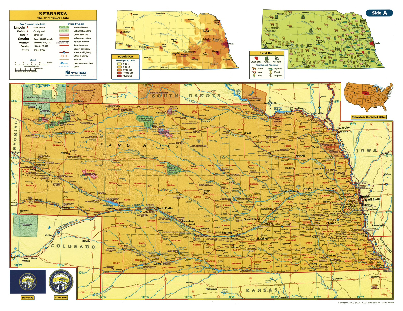
Nebraska: A Hands-On Map for the Cornhusker State
The Nebraska Desk Map gives students a comprehensive look at the state’s geography, from the Sand Hills to the cities along the Missouri River. One side features a detailed political map with labeled counties, cities, rivers, and highways. The reverse side offers a map designed to reinforce geography skills in a variety of ways.
Color-coded elevation and shaded relief illustrate Nebraska’s diverse landforms, while thematic insets provide additional insights into population patterns, land use, and agricultural production. Laminated and markable with wet-erase markers, these maps are designed for frequent use in any classroom.
Each classroom set includes 30 maps and a 16-page teacher’s guide with reproducible student handouts.
Key Features: