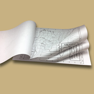
OUTLINE PAD MAPS
Select your Materials
In stock
Connect with a representative to create a custom curriculum for your district.
Unlabeled black-and-white political maps equip students for individual study.
All maps show latitude and longitude, and the world map includes South Sudan. Each title comes in a pack of 50 sheets.
- 50 States. Each sheet shows one state, including county borders and water features, all unlabeled.
- World. An unlabeled world map.
- United States. The unlabeled continental U.S. (with Alaska and Hawaii insets).
| Copyright | 2012 |
|---|---|
| Size | 12" x 18" |
| Publisher | UniversalMap |
| ISBN | 9780762578733 |


