POLITICAL RELIEF CONTINENTS AND REGIONS MAP SERIES
Select your Materials
Help your students explore the world’s continents and regions with a fresh perspective! The Political & Relief Continents and Regions Map Series is designed to engage students with both political boundaries and natural features, offering a comprehensive view of each region’s unique geography. Whether you’re studying Africa, Europe, or South America, these maps give students the tools they need to understand how borders and terrain shape the world.
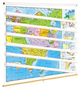
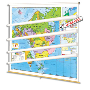
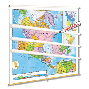
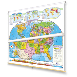
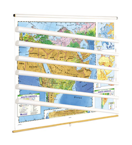
These 42″h x 54″w maps are no ordinary classroom visuals. Printed on tear-resistant stock, they’re markable with wet-erase markers, so you can highlight key geographic features, trace routes, and wipe clean when you’re ready for the next lesson. Each map comes mounted on spring rollers attached to backboards, making them easy to hang from a map rack or one-inch map rail (required). If you prefer a different format, individual roll-down maps are available, or opt for flip chart sets on sturdy tripods for added flexibility.
This map series gives your students a clear view of political boundaries and physical geography, making it perfect for classrooms. The dual focus on political and relief features helps students grasp how landforms and borders influence everything from climate to culture. And with durable materials and customizable options, these maps are built to enhance your lessons for years to come.
Four specialized map sets are available:
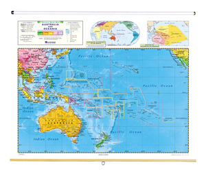
- The 7-map World and Continents set includesAfrica,Asia,Australia and Oceania,Europe,North America, andSouth America, and the world.
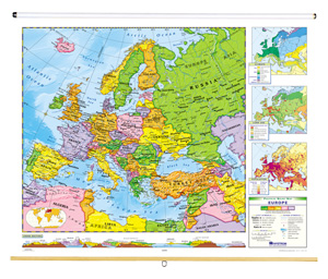
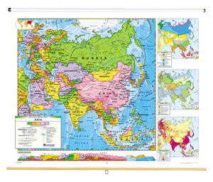
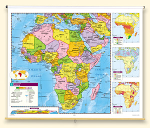
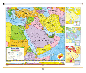
- The 7-map Continents and Regions set includesAfrica,Asia,Australia and Oceania,Europe, theMiddle East,North America, andSouth America.
- The 5-map Eastern Hemisphere set includesAfrica,Asia,Australia and Oceania,Europe, and theMiddle East.
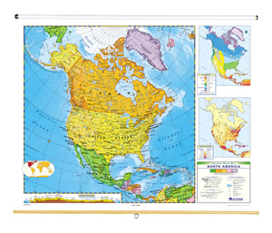
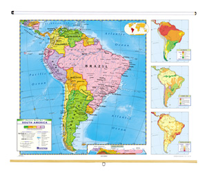
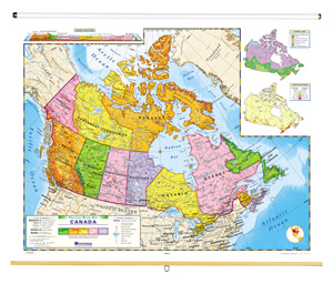
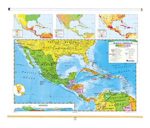
- The 4-map Western Hemisphere set includesCanada,Middle America,North America, andSouth America.
| Publisher | Nystrom |
|---|---|
| ISBN | 9780782541663 |
Related products
-
POLITICAL RELIEF WORLD AND U.S. MAP SET
$335.00 Add to cart -

NYSTROM POLITICAL-RELIEF CONTINENTS MAP SETS
$599.00 Add to cart -
LAND COVER CONTINENTS AND REGIONS MAP SERIES
$729.00 Add to cart -
12″ POLITICAL RAISED-RELIEF GLOBE
$169.00 Add to cart -

AFRICA
$210.00 Add to cart -

ASIA
$210.00 Add to cart -

AUSTRALIA
$210.00 Add to cart -

CANADA
$210.00 Add to cart -

EUROPE
$210.00 Add to cart -

MIDDLE AMERICA
$210.00 Add to cart -

MIDDLE EAST
$210.00 Add to cart -

NORTH AMERICA
$210.00 Add to cart -

SOUTH AMERICA
$210.00 Add to cart