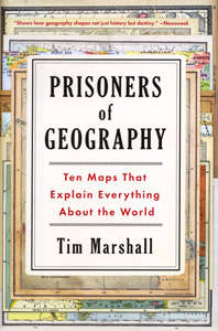
PRISONERS OF GEOGRAPHY
Ten Maps That Explain Everything About the World
Paperback
Connect with a representative to create a custom curriculum for your district.
Nations are constrained by geography, their choices limited by mountains, rivers, and seas, argues an award-winning foreign correspondent who wants readers to see how geography explains geopolitics.
Ten essays illustrated by black-and-white maps focus on the regions that best illustrate the key points of his analysis. The case studies:
- Russia: protective barriers vs. indefensible plains
- China: the need to control sea lanes
- U.S.: a unified continent attaining global reach
- India and Pakistan: two nations dividing one subcontinent
- Western Europe: distinct regions connected by plains and rivers
- Latin America: internal barriers to unified action
- Africa: regions isolated by poor harbors and useless rivers
- Middle East: political boundaries ignoring physical realities
- Korea: global stakes pinned to an arbitrary border
- The Arctic: shared resource or "Russian Ocean"?
"I have focused on the powers and regions that best illustrate the key points of the book, covering the legacy of geopolitics from the past (nation-forming); the most pressing situations we face today (the troubles in Ukraine, the expanding influence of China; and looking to the future (growing competition in the Arctic)."
—Author Tim Marshall
This title is part of the series: PRISONERS OF GEOGRAPHY
| Copyright | 2015 |
|---|---|
| Publisher | Scribner |
| Pages | 291 |
| Grade | Teacher resource or students grades 10 and up |
| ISBN | 9781501121470 |

