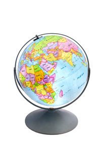
READINESS U.S. AND WORLD MAP SET
Select your Materials
Connect with a representative to create a custom curriculum for your district.
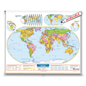
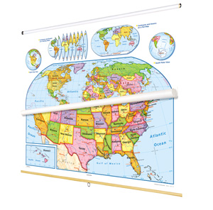
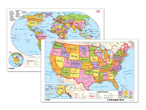
To teach young minds how to use maps and globes, combine this United States map and world map that focus on political regions by using contrasting colors to make states and countries easy to see.
The legends on both maps explicitly explain how map symbols and conventions work, and both show shaded relief, capital and major cities (with type size denoting population), and include longitude and latitude. The U.S. map shows major highways, and has insets including Alaska, Hawaii, and a locator map; insets on the world map include continents and oceans, north and south polar views, and an “orange peel” illustration showing how a two-dimensional map can represent a three-dimensional globe. Both maps measure 53″h x 65″w and are mounted together on one heavy-duty metal spring roller with a backboard.
See also:
| Publisher | Nystrom |
|---|---|
| Grade | 2–3 |
| ISBN | 9780782510348 |


