READINESS WORLD AND U.S. MAP SET
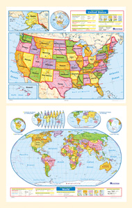
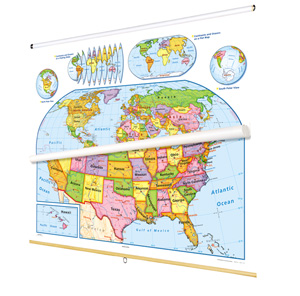
The legends on both maps explicitly explain how map symbols and conventions work, and both show shaded relief, capital and major cities (with type size denoting population), and include longitude and latitude. The U.S. map shows major highways, and has insets including Alaska, Hawaii, and a locator map; insets on the world map include continents and oceans, north and south polar views, and an "orange peel" illustration showing how a two-dimensional map can represent a three-dimensional globe. Both maps measure 53"h x 65"w, are markable/erasable with most water-soluble markers, folded for convenient storage, and eyeletted for easy wall display.
This title is part of the series: READINESS WORLD AND U.S. MAP SET
| Publisher | Nystrom |
|---|


