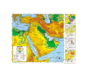
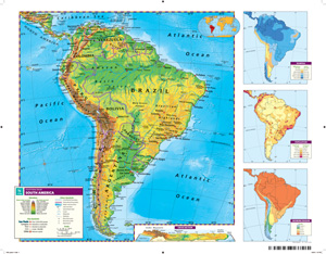
SCULPTURAL RELIEF DESK MAP OF AFRICA AND THE MIDDLE EAST
Select your Materials
Where Geography Pops Off the Page
The Sculptural Relief Desk Map of Africa and the Middle East gives students a striking, tactile view of the landscape—designed to make physical geography stand out without distractions. With one continent per side, this double-sided map shows the elevations, landforms, and water features of Africa and the Middle East in vivid, shaded relief.
Country borders are outlined subtly, so the dramatic patterns of mountains, basins, and deserts remain front and center. Labeled features include capital and major cities, rivers, lakes, and geographic coordinates, offering a full picture of the region while keeping the visual focus on the physical terrain.
The 17″h x 22″w laminated map is built for repeated classroom use and is markable with wet-erase markers, making it ideal for interactive learning and quick cleanups. Available as a single map or in sets of 5, 30, or 100 to suit classrooms of any size.
Key Features:
| Size | |
|---|---|
| Publisher | Nystrom |


