SOUTH CAROLINA DESK MAP
30 state desk maps
South Carolina: A Map That Covers Coastlines, Crops, and More
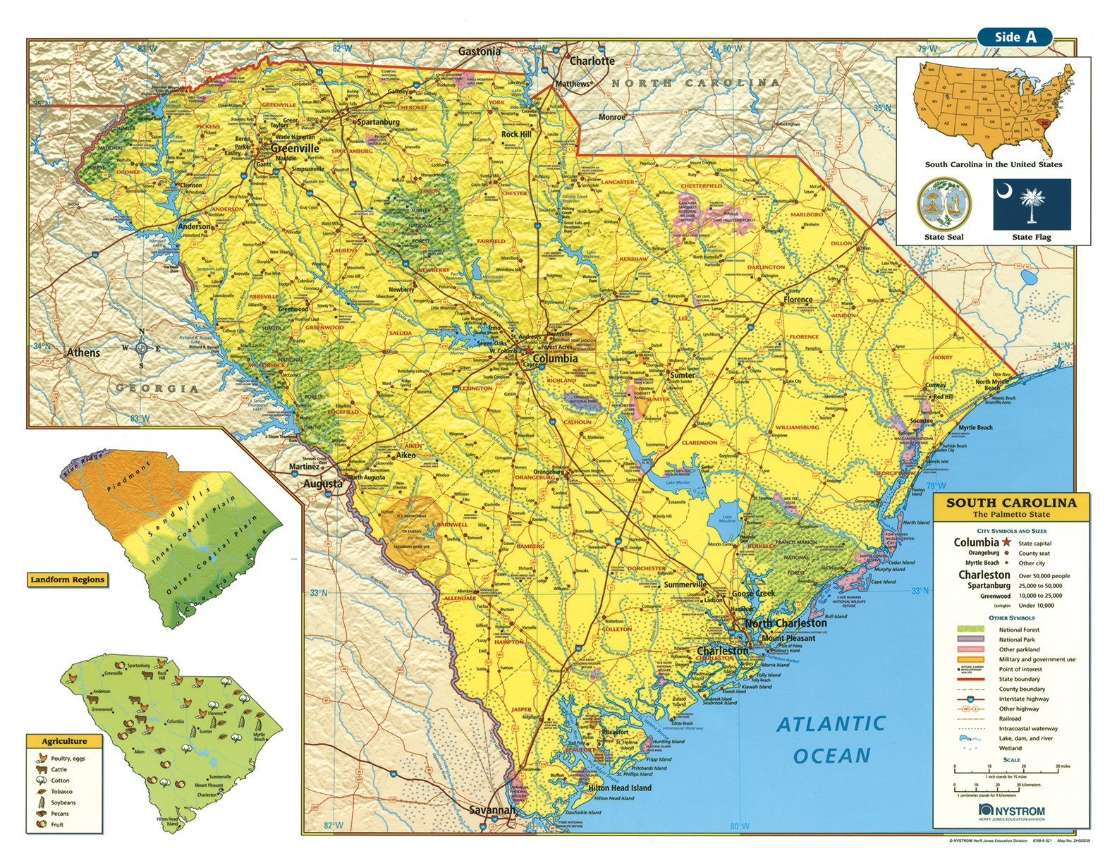
The South Carolina Desk Map gives students a clear and colorful view of the Palmetto State’s physical and political geography. One side features a detailed political map with labeled counties, cities, rivers, highways, and key landforms. The reverse side offers a map designed to reinforce geography skills in a variety of ways.
Color-coded elevation and shaded relief showcase the transition from the Blue Ridge to the Atlantic Coastal Plain. Thematic insets provide extra detail on landform regions and agricultural production, helping students connect geographic features with real-world use. Laminated and markable with wet-erase markers, this map is built to support daily learning.
Each classroom set includes 30 maps and a 16-page teacher’s guide with reproducible student handouts.
Key Features:


