SPARKCHARTS NOTEBOOK MAPS
COMPLETE SET: 2 notebook maps
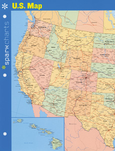
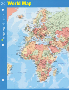
The U.S. map depicts each state (Alaska and Hawaii in insets), many cities, major roads and railroads, and major rivers. Tables and graphs on the back of the map lay out state and territory statistics, percentages of ethnic origins and religious denominations, the ten biggest cities (by population and by area), graphs of population growth and 2010 age distribution, chronologies of all the presidents and 26 signal events, and a map of major land acquisitions with statehood dates. The world map shows longitude and latitude and features Europe, Asia, Africa, and Australia on one side, North and South America on the other; it also indicates U.S. states and shows major roads and rivers.
| Copyright | 2014 |
|---|---|
| Size | 8½" x 11" (folds out to 16" x 11") |
| Publisher | Spark Publishing |


