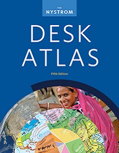


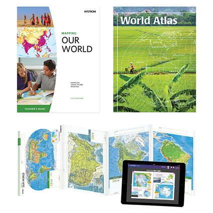
THE NYSTROM WORLD ATLAS
Select your Materials
See all the ways you can bring this atlas in to your classroom by reading the description below.
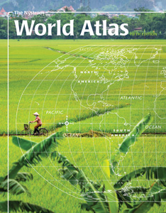
PAPERBACK ATLAS
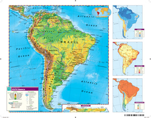
Deepen students’ understanding of the world they live in through a geographical exploration of the seven continents with the Nystrom World Atlas. Rich data, visually engaging maps, primary sources, and infographics engage students as they develop essential social studies skills, such as geographic literacy, primary source analysis, and data analysis.
Contents include:
REPRODUCIBLE STUDENT ACTIVITY BOOK
Give students a richer experience of the Nystrom World Atlas with the 116-page Student Activities book. These reproducible handouts strengthen geography skills, content knowledge, and critical-thinking and information-literacy skills. Intended for grades 6–12, written at an approachable level, and ELL-friendly.
ATLAS PACK
30 ATLASES, 1 STUDENT ACTIVITY BOOK, 5-YEAR E-ATLAS SUBSCRIPTION WITH INTERACTIVE ACTIVITIES
The Atlas Pack engages students with hands-on tools, interactive activities, and literacy lessons, helping them map their way through the world and discover fascinating social studies concepts.
E-ATLAS WITH INTERACTIVE ACTIVITIES: 5-year subscription
Support classroom, remote, and blended learning with a 5-year e-atlas subscription. You’ll have access to the World Atlas flipbook, interactive activities, and the downloadable 116-page activities book, which includes reproducible handouts (and answer keys) and literacy lessons to introduce and reinforce essential skills.
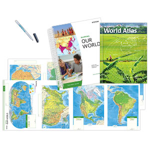
COMPLETE PROGRAM WITH INTERACTIVE
30 ATLASES, 15 ACTIVITY MAPS, 15 MARKERS, TEACHER’S GUIDE
Support your geography or global studies classroom with the newly updated, hands-on Mapping Our World series. The program includes a comprehensive student atlas, teacher’s guide, and 15 markable activity maps. Digital subscription includes additional close-reading activities and online assessments.
Bring The Nystrom World Atlas to all the students in your district! Learn more here.
| Copyright | 2019 updated edition |
|---|---|
| Size | 8½"x 11" |
| Publisher | Nystrom |
| Pages | 120 |
| Grade | 6–12 |
| ISBN | 9780782523263 |
 Sample pages