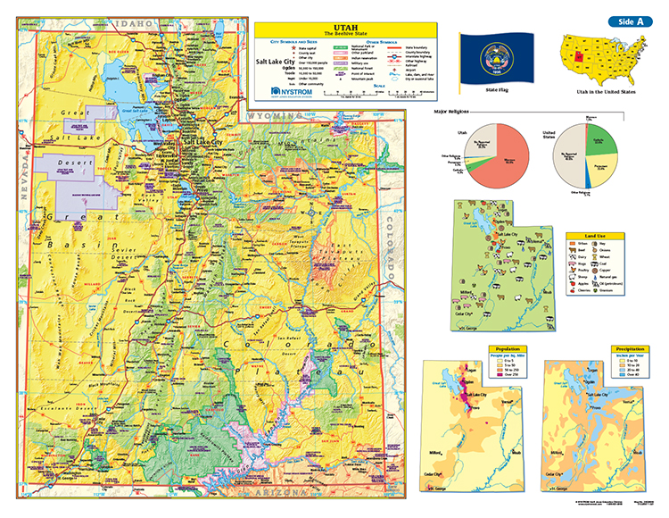
UTAH DESK MAP
30 state desk maps
Connect with a representative to create a custom curriculum for your district.
This double-sided desk map uses color to express elevation, while shaded relief gives shape to the elevation information.
Packs of 30 double-sided, laminated, markable desk maps give students a detailed look at their state. Includes a detailed political map on one side and either a physical or unlabeled map on the other. All maps include a variety of thematic insets showing population density, land use, annual precipitation and more. Desk maps come with a 16-page teacher’s guide with reproducible handout.


