Tennessee
Tennessee educators have needs that are unique and different from other states. That’s why we made this page just for you and your needs as a social studies professional.
Learn more about engaging products made specifically for your state.
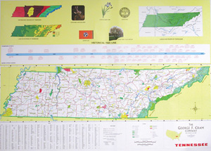
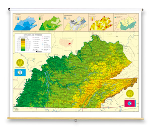
This full-featured state map is political with shaded relief; it shows county boundaries, major transportation routes, points of interest, physical features, and capital, major, and sizable cities with population ranges indicated by type size and/or symbol size.

Inset graphs and/or thematic maps provide information about such topics as population, land use, growing seasons, or other topics important to your state. Three configurations are available: one state map; a state, U.S., and world map combination set; and a state, U.S., world map combination with a 16″ political raised-relief globe.

Discover More Professional Learning Opportunities
Social Studies School Service utilizes district goals and data to personalize supports, and to develop and facilitate professional learning opportunities that build capacity around instructional practice, resource implementation, teacher transfer, and social studies leaderships.
