Stay Up To Date
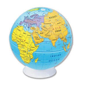
12″ INTERMEDIATE POLITICAL RAISED RELIEF GLOBE
Focuses on countries and states, but adds more detail, like capital and major cities.
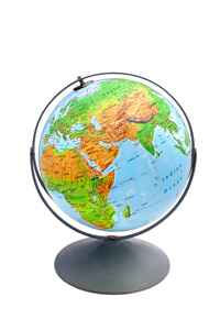
12″ INTERMEDIATE PHYSICAL RAISED RELIEF GLOBE
Focuses on Earth’s environments: its forest, grassland, desert, and alpine terrain regimes.
9″ GLOBE, 1ST GRADE EXPLORING WHERE AND WHY
Oceans are labeled, and each labeled continent is a different color, with country borders unobtrusively drawn but the countries unlabeled.
12″ LAND COVER RAISED-RELIEF GLOBE
Focuses on major ecological regions: cropland, grassland, desert, tundra, glaciers, and three types of forests.
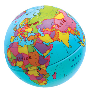
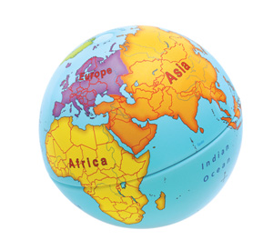
9″ GLOBE, 2ND GRADE EXPLORING WHERE & WHY
Continents and oceans are labeled, but countries, though unlabeled, are emphasized by using colors to distinguish each one’s area.
9″ GLOBE, 3RD GRADE EXPLORING WHERE & WHY
The Equator is shown, with latitude and longitude simplified to 30-degree increments.
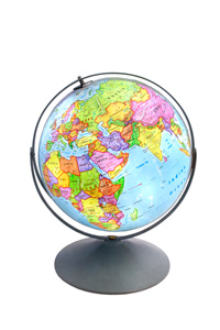
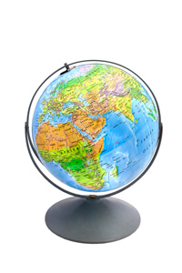
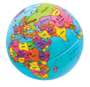
9″ GLOBE, 4TH GRADE EXPLORING WHERE AND WHY
Colors distinguish one continent from another, with country borders unobtrusively drawn and all but the smallest countries labeled.