Stay Up To Date
SCULPTURAL RELIEF WORLD DESK MAP
Country borders are indicated by unobtrusive lines that leave patterns of physical relief unobstructed.
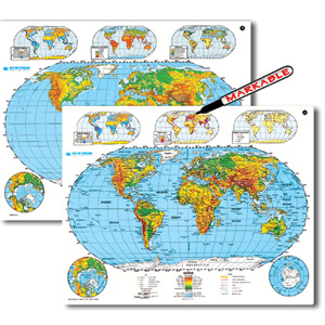
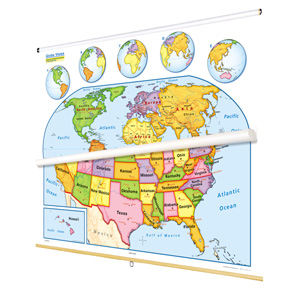
PHYSICAL-POLITICAL WORLD AND U.S. DESK MAP
Boundary lines distinguish labeled countries and states, and the maps show major and capital cities, landforms and water features, and latitude and longitude.
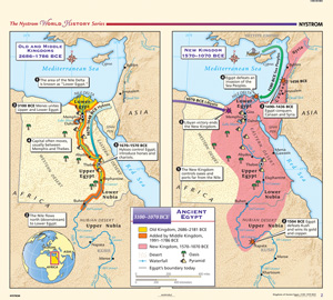
THE NYSTROM COMPLETE WORLD HISTORY MAP SET
The 45″h x 50″w maps are printed on durable, tear resistant stock markable/wipeable with most wet-erase markers.
NYSTROM U.S./WORLD LAND COVER MAPS
Naturalistic colors mark eight kinds of land cover: cropland, grassland, desert and semi-desert, tundra, glacier, broadleaf and needleleaf forests, and tropical rainforests.
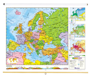
NYSTROM POLITICAL-RELIEF CONTINENTS MAP SETS
Measuring 65"w x 53"h, the maps are made with a sturdy synthetic paper that’s markable/wipeable with most wet-erase markers.
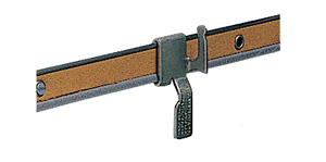
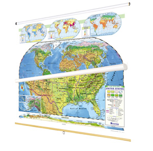
MAPS MOUNTING SYSTEM
Attaching the map rail to the wall requires additional hardware—wood screws, sheet metal screws, or concrete wall anchors, for example—that is not included.
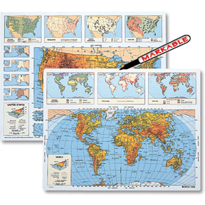
EARLY LEARNING MAPS AND GLOBES CLASS PACK
This United States map, world map, and globe (all markable) combine to provide basic geographic information using simple cartographic symbols and conventions.
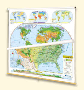
INTERMEDIATE PHYSICAL MAP SERIES
While shaded relief plainly reveals mountainous areas, colors classify terrain as forest, grassland, desert, or alpine.
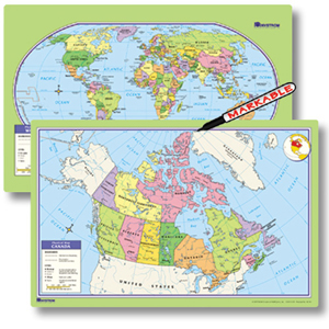
CANADA/WORLD DESK MAPS
Two-sided political desk maps; Canada on one side, world on the other.