ALABAMA
Select your Materials
Connect with a representative to create a custom curriculum for your district.
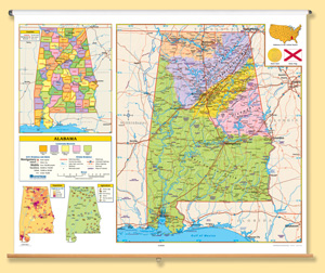
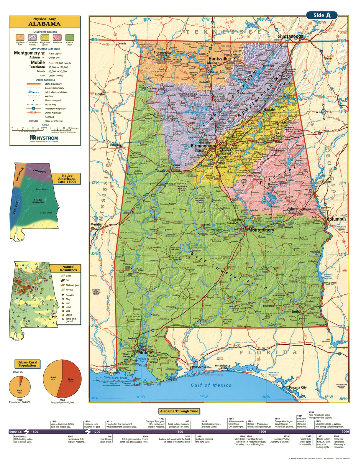
This full-featured state map is political with shaded relief; it shows county boundaries, major transportation routes, points of interest, physical features, and capital, major, and sizable cities with population ranges indicated by type size and/or symbol size.
Inset graphs and/or thematic maps provide information about such topics as population, land use, growing seasons, or other topics important to your state. Three configurations are available: one state map; a state, U.S., and world map combination set; and a state, U.S., world map combination with a 16″ political raised-relief globe. The U.S. and world are political relief maps. Each wall map or map set comes mounted on a single heavy-duty spring roller with a backboard, and all the maps are markable/erasable with water-soluble markers. All roll-down maps and map sets must be attached to the wall by means of a map rail or map rack (not included).
| Size | 54"h x 65"w. |
|---|---|
| Publisher | Nystrom |