MAP SKILLS
Select your Materials
In stock
Connect with a representative to create a custom curriculum for your district.
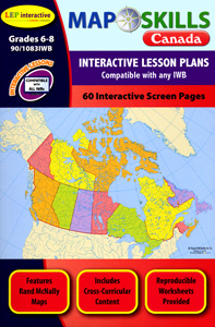
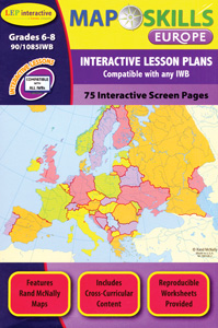
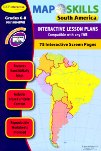
More than 500 interactive IWB map and activity screens introduce students to a world they can explore at a touch.
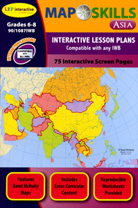
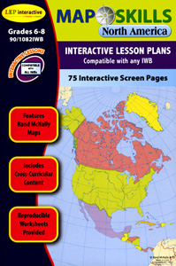
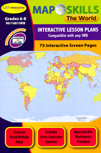
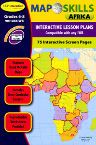
For example, touch a country to see photographs, video, or statistics; calculate the coordinates of a country’s capital by pointing to its location; explore an ocean’s depths by tapping it with a digital pen. Seven interactive lesson plans—each with about 75 screens—cover the world and six regions through a wide variety of activity pages and full-color maps by Rand McNally that engage students in actively learning important map skills and distinctive geographic features—from latitude, longitude, and cardinal directions to countries, climates, and natural resources. For use on IWBs, projectors, tablets, slates, PC, and Mac.
Quantities are limited.
| Copyright | 2012–13 |
|---|---|
| Publisher | Lorenz Educational Press |
| Grade | 6–8 |
| ISBN | 9780787707002 |
View samples from the titles in this series:

