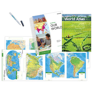

THE NYSTROM DESK ATLAS
Select your Materials
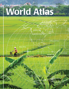
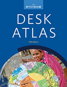
PAPERBACK ATLAS
Help your students analyze global data from new perspectives and discuss ways to build a better world using this up-to-date, visually engaging 240-page Student Desk Atlas featuring detailed maps, infographics, and more.
Features include:
ATLAS PACK
30 ATLASES, 1 STUDENT ACTIVITIES BOOK, 5-YEAR E-ATLAS SUBSCRIPTION WITH ACTIVITIES
The Atlas Pack engages students with hands-on tools, interactive activities, and literacy lessons, helping them gain essential skills while connecting to the world through current environmental, economic, and cultural issues.
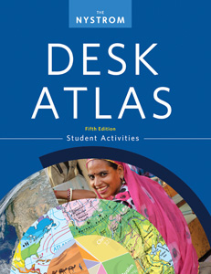
REPRODUCIBLE STUDENT ACTIVITY BOOK
Give students a richer experience of the Desk Atlas with the 112-page Student Activities book. These reproducible handouts strengthen geography skills and content knowledge while developing critical-thinking and information-literacy skills. Intended for grades 6–12, written at an approachable level, and ELL-friendly.
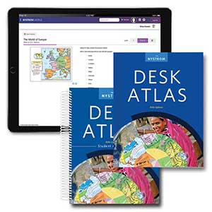
E-ATLAS AND INTERACTIVE ACTIVITIES: 5-year subscription
Support classroom, remote, and blended learning with a 5-year e-atlas subscription. You’ll have access to the Desk Atlas flip-book, interactive activities, and the downloadable 112-page activity book, which includes reproducible handouts and literacy lessons to help introduce and reinforce essential skills.
Bring The Nystrom Desk Atlas to all the students in your district! Learn more here.
| Copyright | 2018 |
|---|---|
| Size | 8½"x 11" |
| Publisher | Nystrom |
| Pages | 240 |
| Edition | Fifth Edition |
| Grade | 9–12. |
| ISBN | 9780782526585 |
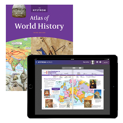
 Sample pages from the atlas