

Geographic foundations for every learner
Thinking Geographically
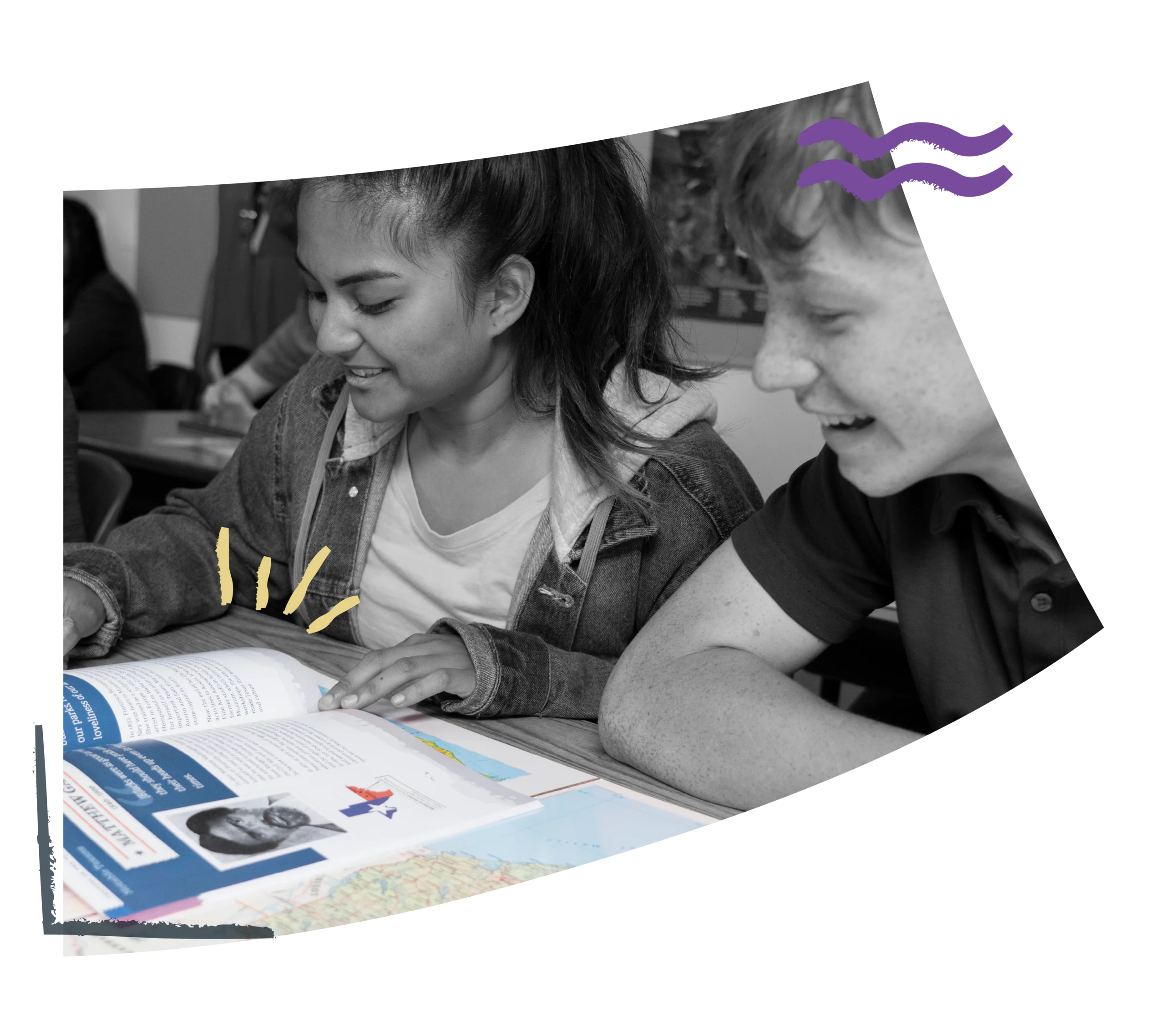
Our mapping programs were created to help students see the world through patterns, place, and perspective. By equipping teachers with powerful mapping tools that make geographic thinking visible and tangible, the program helps students develop geographic literacy, spatial reasoning, evidence-based analysis, and collaboration skills. Through exploration, students learn to make connections, think critically, and better understand an interconnected world.

Why Mapping?
Anatomy of an Activity

Step Into a Mapping Programs Classroom
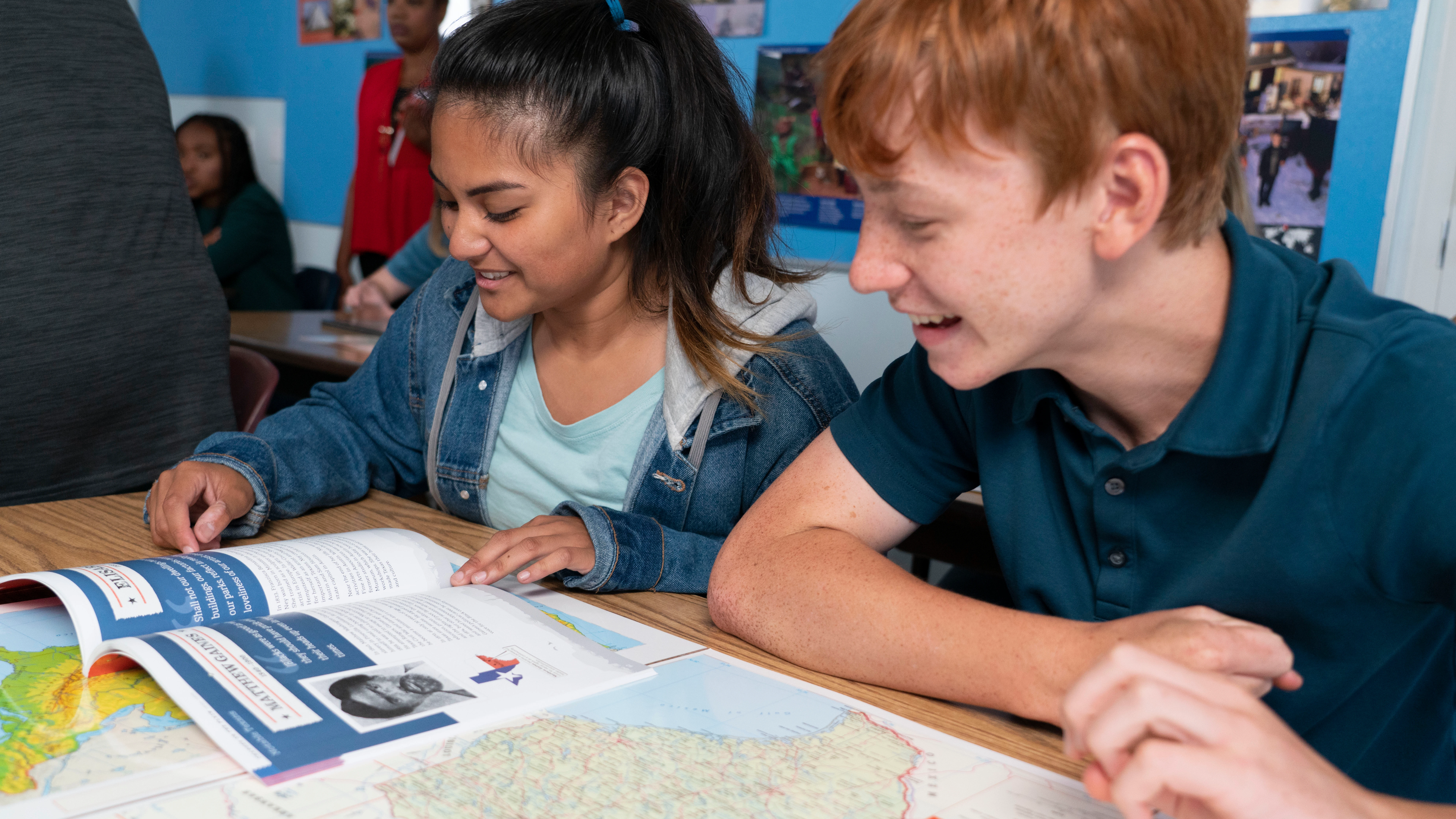
You’ll see students discovering how geography shapes the story of our world. A compelling question launches the lesson, inviting students to examine timelines, maps, graphs, and visuals with purpose. They trace movement, identify patterns, and connect events across time and place learning to see history not as isolated facts, but as interconnected developments shaped by environment and human decision-making.
As the lesson unfolds, students move beyond gathering information to interpreting evidence and drawing conclusions. They compare sources, analyze data, and communicate their thinking with clarity, guided by a teacher who models geographic reasoning and checks for understanding. In our mapping programs, maps are more than references; they are tools for helping students to think critically, ask deeper questions, and actively construct meaning through the power of place.
Take a Look Inside
Explore what’s included across our Secondary Mapping Programs.
Teacher’s Guide
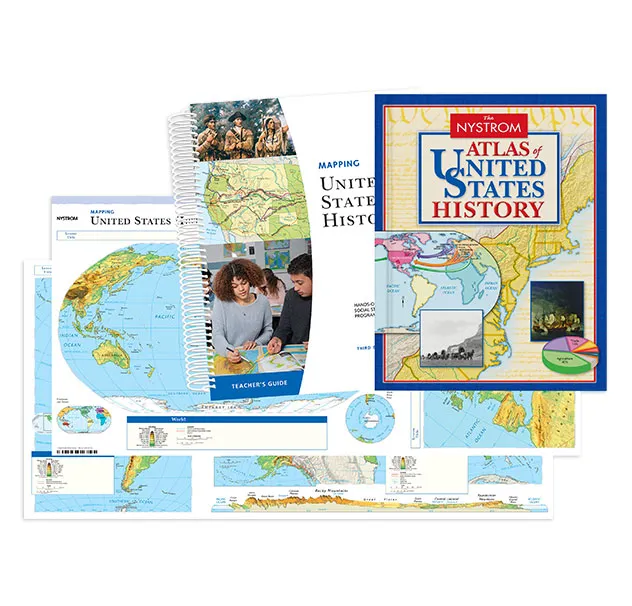
Flexible, ready-to-teach activities help teachers connect geography and history. The guide includes step-by-step instruction, discussion prompts, assessments, and extension activities that help students explore how place shaped key events in U.S. history.
Student Atlas
A richly illustrated atlas that places U.S. history in geographic context. Timelines, thematic maps, infographics, and text help students explore how place influenced exploration, expansion, conflict, and change over time.
Activities
Short, engaging activities guide students through map analysis, discussion, and writing. As they gather geographic evidence and examine historical developments, students strengthen critical thinking and learn to explain how geography influenced our nation’s past.
Markable Desk Map
Students work together to plot routes, territories, and historical developments on markable maps. Hands-on mapping helps them visualize where events happened and understand how geography shaped the nation’s past.
Teacher’s Guide
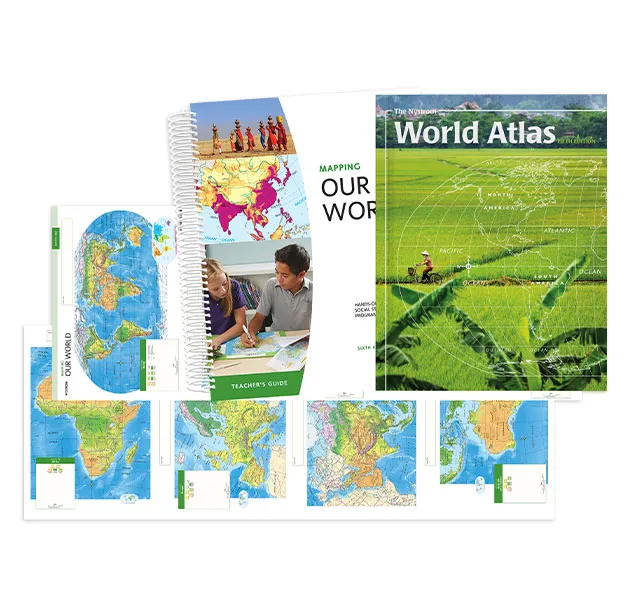
Flexible, ready-to-teach lessons help teachers build geographic understanding. The guide includes step-by-step instruction, discussion prompts, assessments, and extension activities that support students as they explore physical and cultural geography.
Student Atlas
An engaging atlas exploring the world’s continents, environments, and cultures. Students analyze thematic maps, images, and data to understand connections between physical geography and human systems.
Activities
Short, engaging activities guide students through map analysis, discussion, and writing. As they interpret maps, graphs, charts, and text, students build geographic literacy and learn to identify patterns, relationships, and connections across regions of the world.
Markable Desk Map
Students explore global geography by locating regions, tracing patterns, and analyzing spatial relationships. Collaborative mapping activities build geographic literacy and strengthen spatial reasoning.
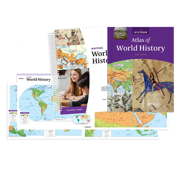
Teacher’s Guide
Flexible, ready-to-teach lessons help teachers connect geography and world history. The guide includes step-by-step instruction, discussion prompts, assessments, and extension activities that help students examine connections among civilizations, cultures, and global events.
Student Atlas
A visually rich atlas that connects world events to geography. Maps, timelines, and “Historical Issues Today” features help students explore civilizations, trade networks, conflicts, and cultural exchange.
Activities
Short, engaging activities guide students through map analysis, discussion, and writing. As they interpret maps, graphs, charts, and text, students build geographic literacy and learn to identify patterns, relationships, and connections across regions of the world.
Markable Desk Map
Students trace migrations, empires, and trade routes on markable maps. Hands-on activities help them visualize global change and understand how geography influenced world history.
Explore Your State Edition
Explore state-specific Mapping Programs designed to support geography, history, and standards-aligned instruction.
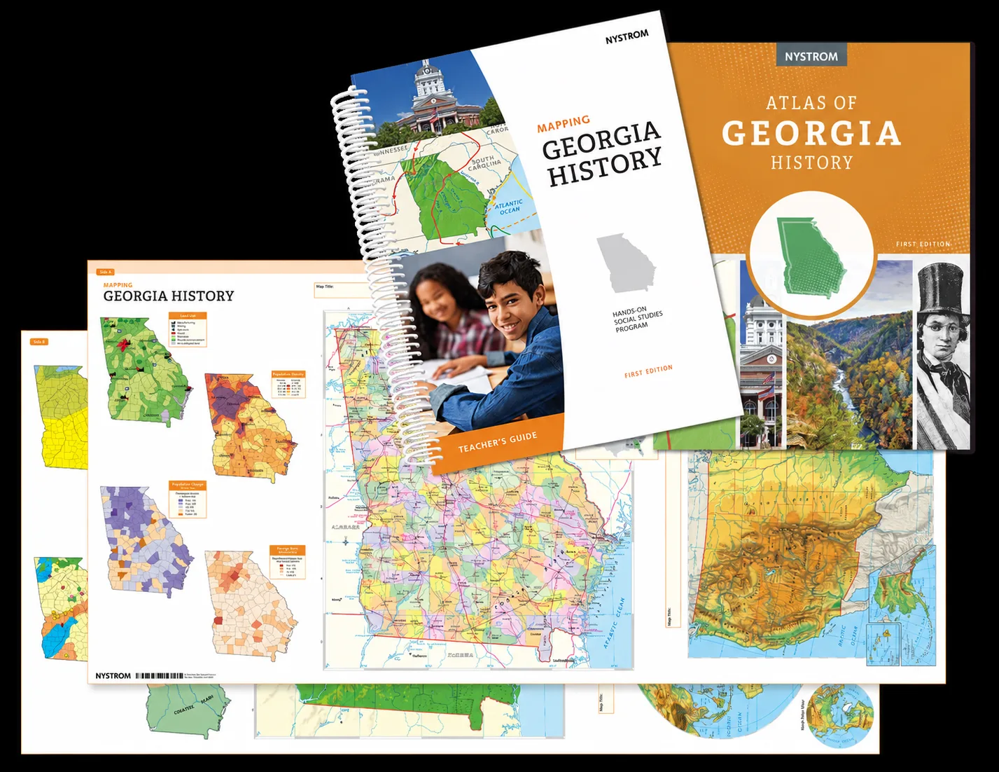
Teacher’s Guide
Flexible, ready-to-teach activities help teachers connect Georgia’s geography and history. The guide includes step-by-step instruction, discussion prompts, assessments, and extension activities that help students explore how place shaped key events throughout Georgia’s history.
Student Atlas
A richly illustrated atlas that places Georgia’s history in geographic context. Timelines, thematic maps, infographics, and text help students explore how place influenced settlement, growth, conflict, and change across Georgia over time.
Activities
Short, engaging activities guide students through map analysis, discussion, and writing. As they gather geographic evidence and examine historical developments, students strengthen critical thinking and discover how geography influenced Georgia’s past.
Markable Desk Map
Students work together to plot routes, settlements, regions, and historical developments on markable maps. Hands-on mapping helps them visualize where events happened and understand how geography shaped Georgia’s history.
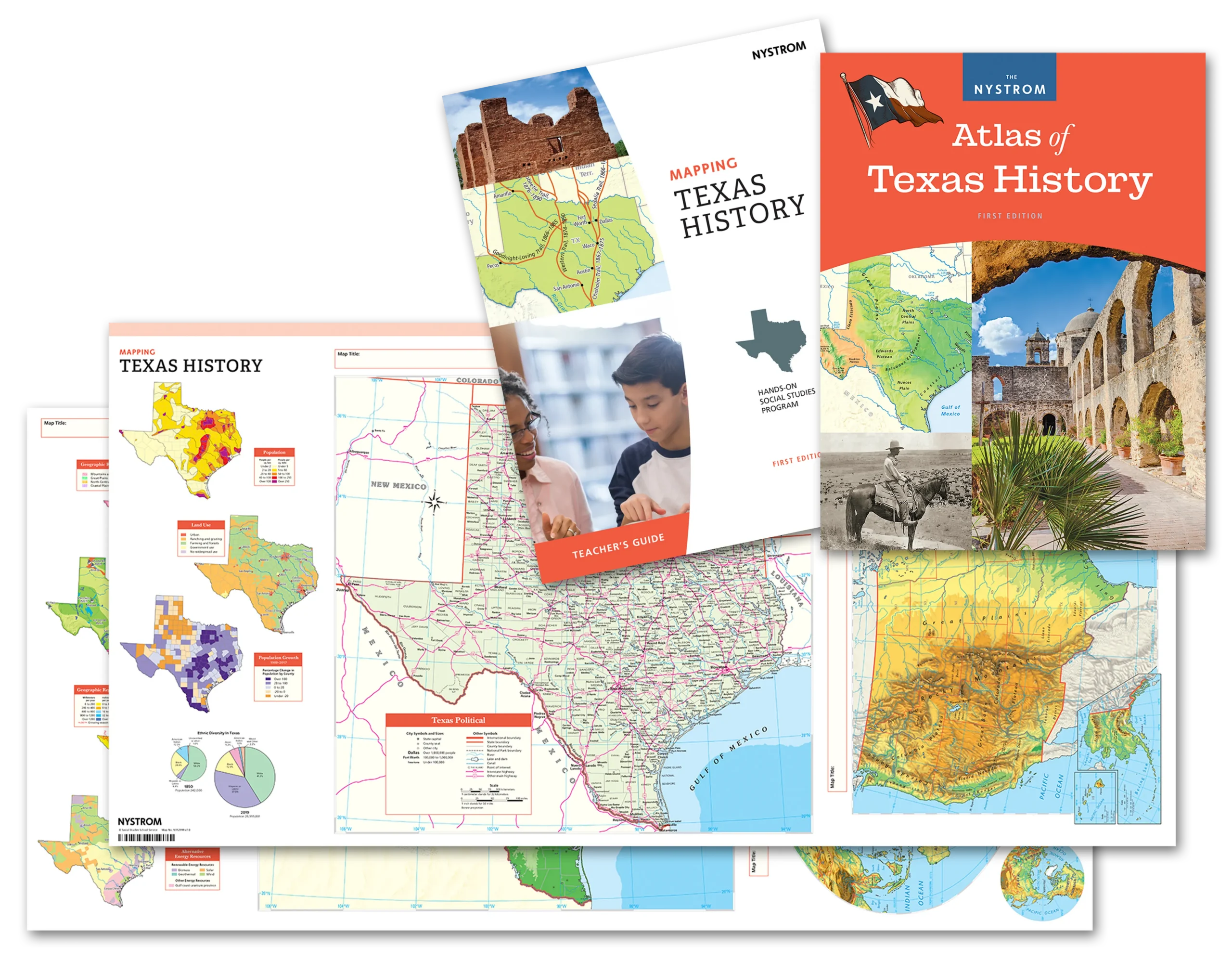
Teacher’s Guide
Flexible, ready-to-teach activities help teachers connect Texas geography and history. The guide includes step-by-step instruction, discussion prompts, assessments, and extension activities that help students explore how place shaped key events throughout Texas history.
Student Atlas
A richly illustrated atlas that places Texas history in geographic context. Timelines, thematic maps, infographics, and text help students explore how place influenced settlement, independence, growth, and change across Texas over time.
Activities
Short, engaging activities guide students through map analysis, discussion, and writing. As they gather geographic evidence and examine historical developments, students strengthen critical thinking and discover how geography influenced Texas history.
Markable Desk Map
Students work together to plot routes, settlements, regions, and historical developments on markable maps. Hands-on mapping helps them visualize where events happened and understand how geography shaped Texas history.
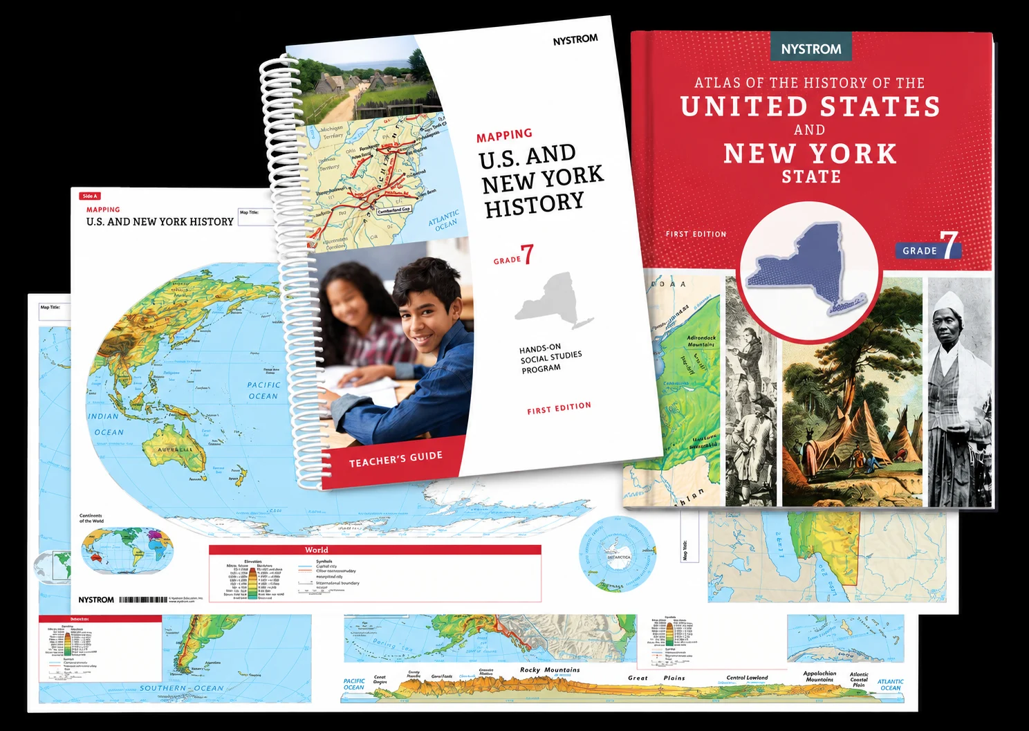
Teacher’s Guide
Flexible, ready-to-teach activities help teachers connect New York and U.S. geography and history. The guide includes step-by-step instruction, discussion prompts, assessments, and extension activities that help students explore how place shaped early America and New York.
Student Atlas
A richly illustrated atlas that places early U.S. and New York history in geographic context. Timelines, thematic maps, infographics, and text help students explore how place influenced exploration, settlement, government, and growth.
Activities
Short, engaging activities guide students through map analysis, discussion, and writing. As they gather geographic evidence and examine historical developments, students strengthen critical thinking and discover how geography influenced early U.S. and New York history.
Markable Desk Map
Students work together to plot routes, settlements, regions, and historical developments on markable maps. Hands-on mapping helps them visualize where events happened and understand how geography shaped early U.S. and New York history.
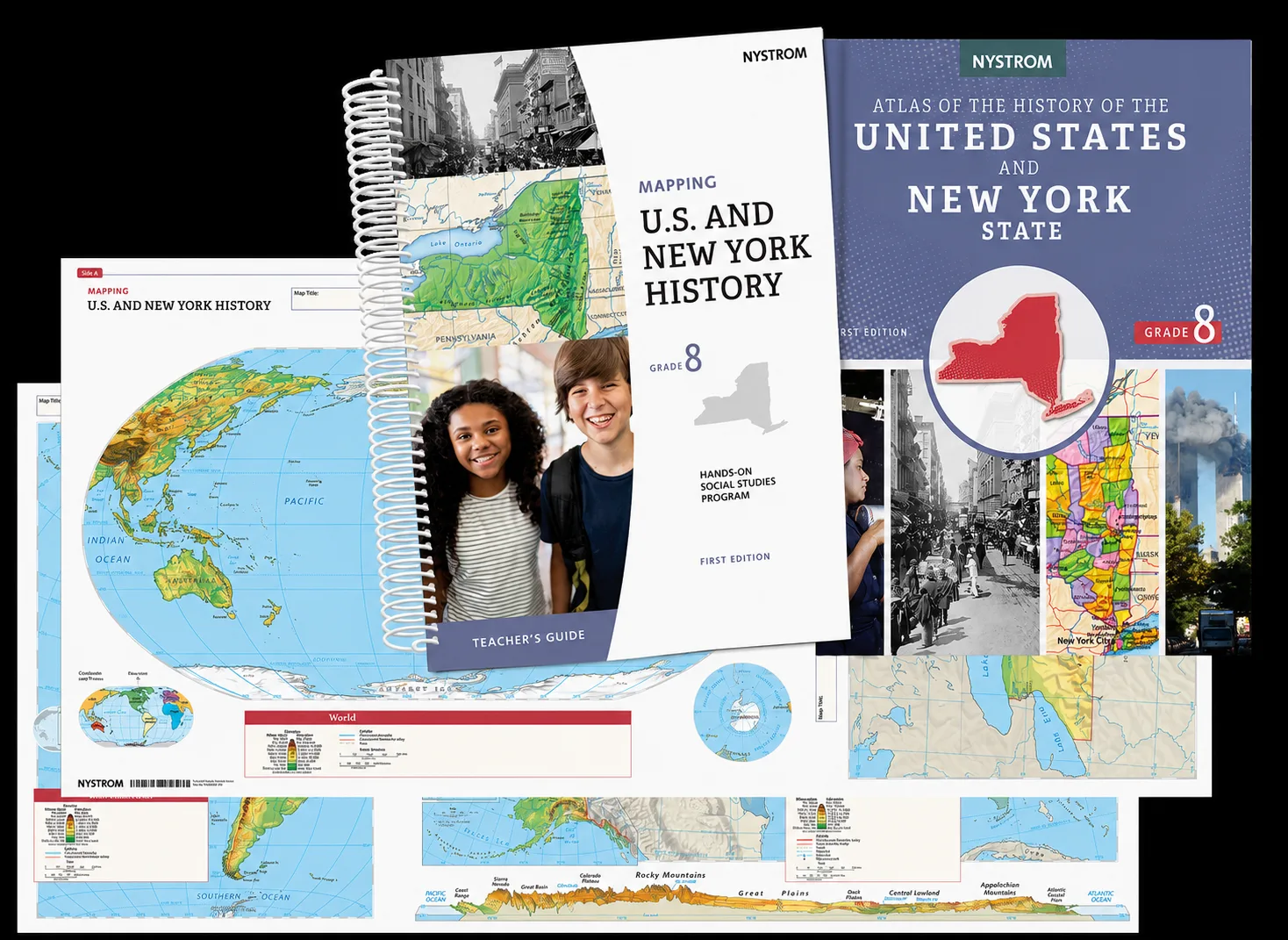
Teacher’s Guide
Flexible, ready-to-teach activities help teachers connect New York and U.S. geography and history. The guide includes step-by-step instruction, discussion prompts, assessments, and extension activities that help students explore how place shaped the nation’s development.
Student Atlas
A richly illustrated atlas that places U.S. and New York history in geographic context. Timelines, thematic maps, infographics, and text help students explore how place influenced expansion, immigration, industry, conflict, and change.
Activities
Short, engaging activities guide students through map analysis, discussion, and writing. As they gather geographic evidence and examine historical developments, students strengthen critical thinking and discover how geography influenced the growth of the United States and New York.
Markable Desk Map
Students work together to plot routes, settlements, regions, and historical developments on markable maps. Hands-on mapping helps them visualize where events happened and understand how geography shaped the growth of the United States and New York.
Ready to learn more
about our Secondary Mapping Programs?
Reach out to your dedicated curriculum specialist.
Start a conversation