No matter what social studies subject I am teaching each year, my very first lesson is based in geography. Geography is an integral part of every area of social studies, and is fundamental for everyone at every grade level. Geography helps students to discover and explore the world and can enrich any topic or historical event. My students know that they will learn how to make inquiries, observe, gather data, and create an analysis of that data. In my class, students know that geography doesn’t come second.
Real-World Applications of Geography
So, why do I put geography first? Geography is completely about real-world applications and can be applied to both the human and physical world. Geography encourages students to imagine possible futures while at the same time understand historical events and aide them in thinking logically about complex issues such as border disputes, climate change, migration, and food scarcity.
Using geographic tools like atlases and maps, students gather and use data to examine these real-world issues and problems and learn to make decisions. They are also offered a chance to learn about other people and cultures across the globe. This helps prepare them to examine issues and events without bias and to draw their own conclusions. Using geographic skills, students search for explanations about world of the past, present, and future.

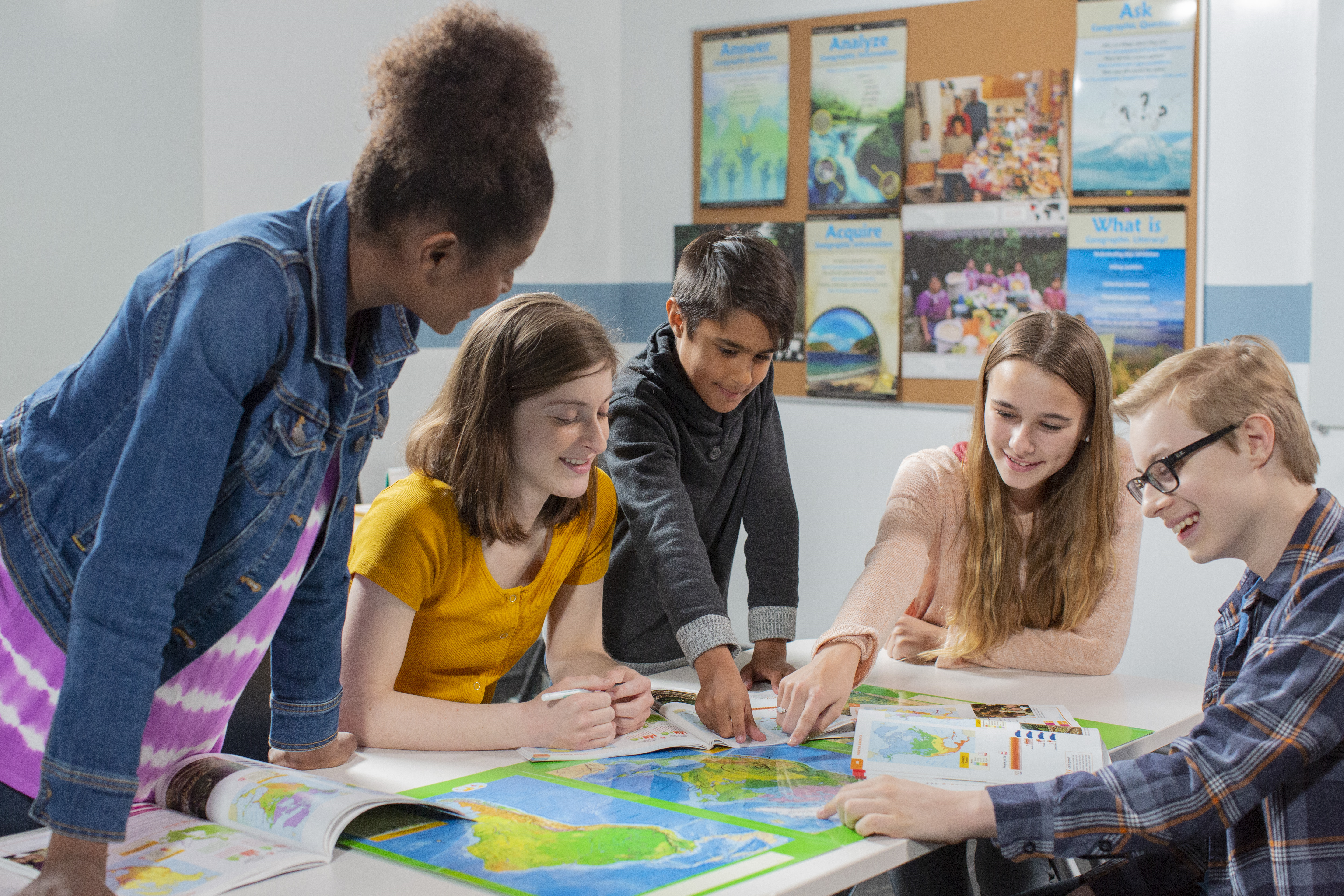
Maps and Atlases in the Secondary Classroom
Maps and atlases are geographic tools that have many classroom applications, particularly at the secondary level. They both can be used to visualize spatial concepts and statistical data. While an atlas is a primary way of delivering geographic knowledge to elementary students, a collection of maps can also be used in the secondary classroom for a deeper dive. The maps found in an atlas show numerous data including topography, landforms, political boundaries, physical formations, and climate regions. They also share economic, social, and religious data of a given location. The geographic inquiry process is an excellent way to provide students a more rigorous study of the world while making use of an atlas. At the secondary level, atlases are used for more than just memorizing place names. Data can be gathered from an atlas and used for questioning, problem solving, and critical thinking. The use of an atlas can be a foundation for students in the inquiry process.
Another great feature of an Atlases is the gazetteers section which contains detailed statistics about human and physical geography of an area that can be used for further study and problem solving. This information can be used to create country studies of a location and better understand the interaction of humans and the physical world which has resulted in the creation of place. Students can also use the data to gain knowledge about issues that involve a country or region and brainstorm or troubleshoot potential solutions. Atlases can be used to make connections between geographical concepts involving place and show how the world has advanced. An atlas has hundreds of applications and can be used for applications in all areas of social studies.
In history, we look at the past to see how the present is shaped. Atlases can provide the same context from a geographic viewpoint. We can view historical atlases to see how history and culture are connected. In Civics, we look for data on population change and how that impacts political views and structures. An atlas can be used with census data to track migration and delve into political redistricting. In economics, an atlas can be used to locate natural resources and discuss scarcity versus sustainability. And, students can use an atlas to gain insight into the daily lives of millions of people around the globe. At atlas can even be used to better understand culture studies and overcome bias.
An atlas, therefore, is a collection of more than maps. It is a collection of data and facts that help students to make sense of the world and might, one day, help them to solve some of our biggest problems. They have an important place in the secondary classroom to teach students how to inquire about geography, observe, gather data, and discover their own worldview. That, in itself, is a priceless that only geography can teach.
Enhance student learning with digital geography activities
Try a free 30-day trial of Nystrom World today
Tama Nunnelley taught geography and history in Guntersville, Alabama, for twenty-six years, where she encouraged her students to be lifelong explorers and to push past fear to reach their goals. She empowered her students to find their voice and tell their story. Tama is a trainer for the National Geographic Educator Certification Program, a 2015 National Council for Geographic Education distinguished teacher, past president of the Alabama Social Studies Council, and co-coordinator of the Alabama Geographic Alliance. Currently she teaches online for the state ACCESS program, serves as an adjunct in the Department of Geography for the University of North Alabama, and is creating a seventh-grade online geography course for ACCESS.