

Building knowledge through geography
Geographic Literacy for Every Learner
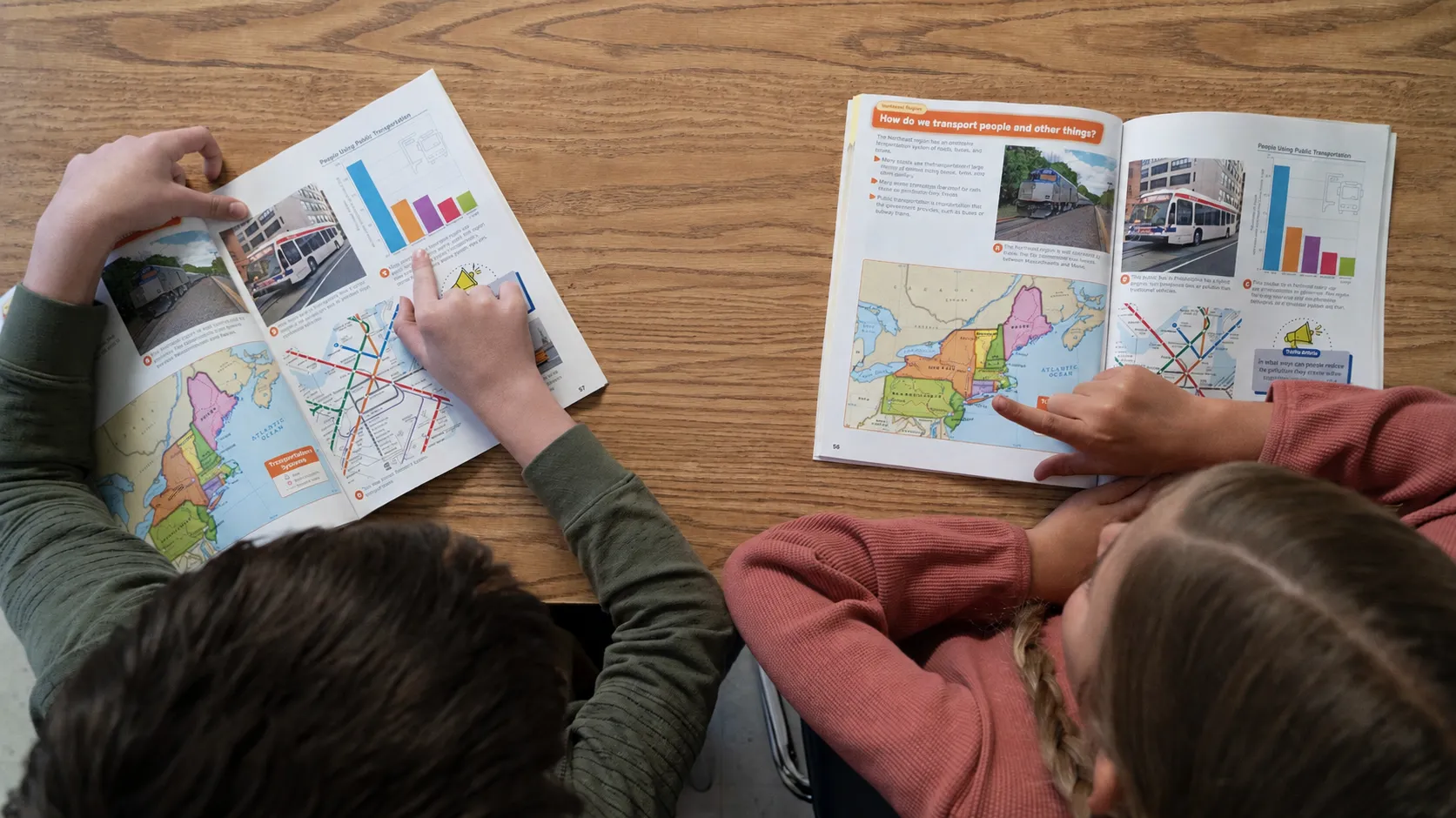
Build geographic literacy by helping students explore their communities, the United States, and the world through engaging atlases paired with activities. By integrating literacy with social studies, Nystrom Elementary Atlases empower teachers to build background knowledge while developing the geographic thinking and text analysis skills students need to interpret visual and informational texts with confidence throughout K–5 and beyond.
See What’s Inside
Explore the topics, geographic thinking, and literacy skills kindergartners develop using the atlas and its activities.
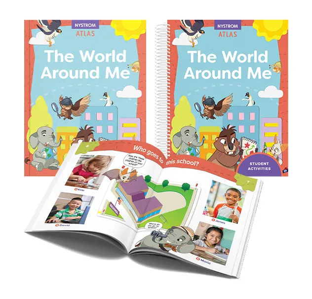
Also available in Spanish: El mundo a mi alrededor
Exploration
Students begin with what is most familiar—themselves, their families, neighborhoods, and communities—before expanding their view to the United States and the world. Engaging questions, maps, photographs, and illustrations build the background knowledge needed to understand people and places.
Geographic Thinking
Students learn to observe, identify, and describe places using maps, photographs, charts, and other visual sources. They begin making connections between their own experiences and the world around them, laying the foundation for geographic literacy.
Literacy Skills
Integrated literacy lessons develop reading, writing, speaking, and vocabulary through a variety of visual and informational texts. Students practice describing observations, discussing ideas, and communicating with evidence from maps, images, and text.
Explore the topics, geographic thinking, and literacy skills first graders develop using the atlas and its activities.
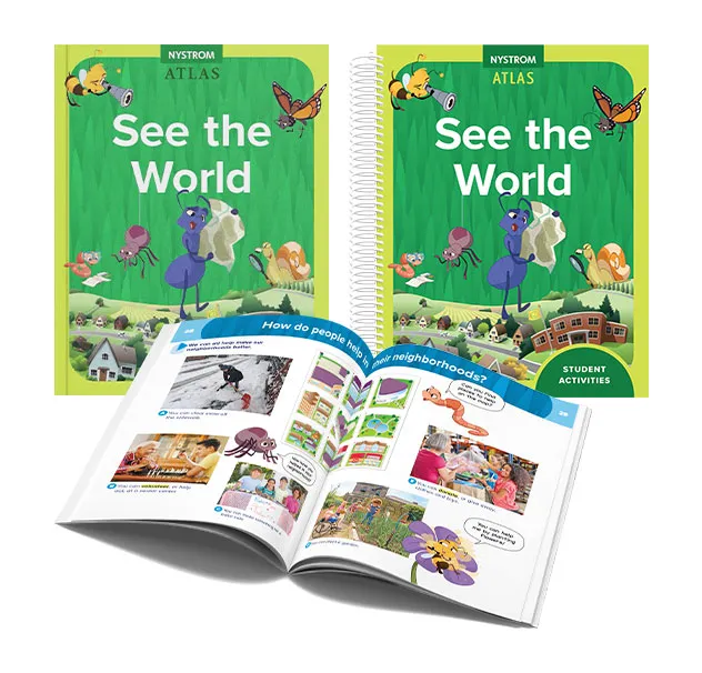
Also available in Spanish: Observa el mundo
Exploration
Students broaden their understanding of communities, the United States, and the continents while exploring how people live, work, and connect in different places. Maps, globes, photographs, and engaging questions help students expand their view of the world.
Geographic Thinking
Students compare places, recognize spatial relationships, and explain connections between people and environments. They begin interpreting information across maps, globes, charts, photographs, and other geographic sources to answer compelling questions.
Literacy Skills
Students strengthen comprehension, vocabulary, and informative writing while reading and interpreting a variety of visual and informational texts. Integrated lessons encourage discussion, close reading, and evidence-based explanations.
Explore the topics, geographic thinking, and literacy skills second graders develop using the atlas and its activities.
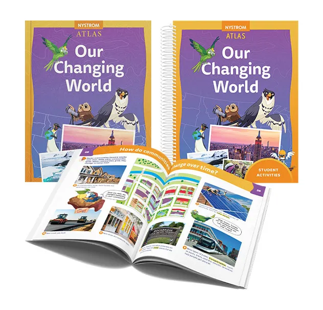
Also available in Spanish: Nuestro mundo cambia
Exploration
Students investigate how communities, the United States, and the world change over time. Through topics such as technology, natural resources, citizenship, and world cultures, they explore how people, places, and environments influence one another.
Geographic Thinking
Students interpret geographic information by comparing maps, graphs, charts, photographs, and other visual sources. They identify patterns, explain change, and use evidence to draw conclusions about people and places.
Literacy Skills
Integrated literacy lessons strengthen reading, discussion, and opinion as well as informative and narrative writing. Students regularly interpret and communicate ideas using evidence from visual and informational texts.
Explore the topics, geographic thinking, and literacy skills third graders develop using the atlas and its activities.
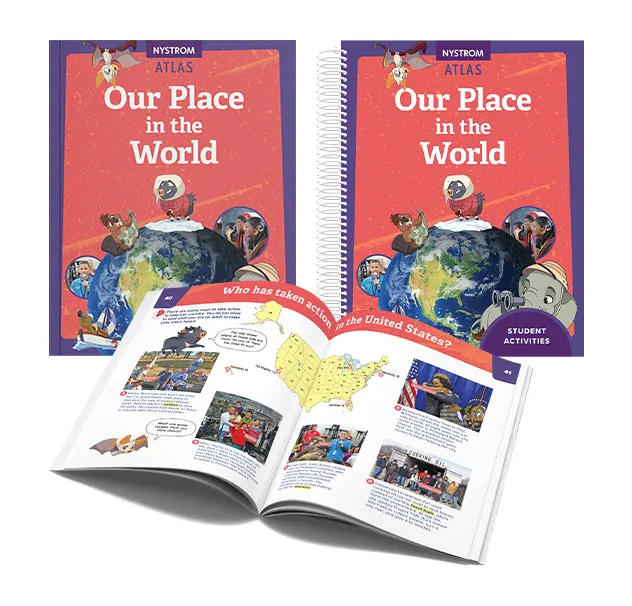
Also available in Spanish: Nuestro lugar en el mundo
Exploration
Students expand their perspective to world geography, exploring regions, cultures, physical environments, and human activities. They investigate how people adapt to, depend on, and shape the places where they live around the globe.
Geographic Thinking
Students analyze geographic patterns, compare regions, and examine relationships between people and environments. They synthesize information from a variety of visual and informational texts to explain global connections.
Literacy Skills
Students strengthen research, analysis, and evidence-based communication while working with maps, graphs, charts, photographs, and informational texts. Writing and discussion emphasize explaining geographic ideas with supporting evidence.
Explore the topics, geographic thinking, and literacy skills fourth graders develop using the atlas and its activities.
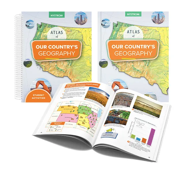
Also available in Spanish: La geografía de nuestro país
Exploration
Students take an in-depth look at the geography of the United States, exploring regions, landforms, climate, natural resources, population, and economic activity. They discover how geography influences where people live and how communities develop.
Geographic Thinking
Students evaluate geographic patterns and interactions across the United States by interpreting multiple geographic sources. They explain how physical and human systems shape regions and communities using evidence from visual and informational texts.
Literacy Skills
Students build analytical reading and explanatory writing skills while interpreting maps, graphs, charts, photographs, and informational texts. Activities encourage students to support conclusions with geographic evidence.
Explore the topics, geographic thinking, and literacy skills fifth graders develop using the atlas and its activities.
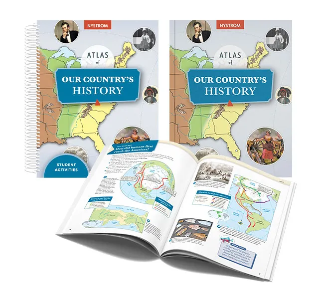
Also available in Spanish: La historia de nuestro país
Exploration
Students trace the history of the United States from its earliest peoples to the modern era, examining how geography influenced settlement, expansion, conflict, innovation, and growth throughout the nation's history.
Geographic Thinking
Students apply geographic reasoning to historical events by analyzing multiple historical and geographic sources. They investigate cause-and-effect relationships and explain how places and societies change over time using evidence from visual and informational texts.
Literacy Skills
Students evaluate evidence across maps, timelines, primary and secondary sources, and other visual and informational texts while strengthening analytical reading, discussion, and writing. They synthesize information to develop and support evidence-based claims.
Explore the topics, geographic thinking, and literacy skills upper elementary students develop using the atlas and its activities.
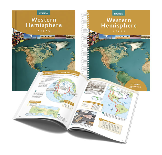
Exploration
Students explore the people, places, and events that have shaped the Western Hemisphere, discovering how geography has influenced migration, settlement, cultural exchange, economic development, and change across North America, Mesoamerica, the Caribbean, and South America.
Geographic Thinking
Students apply geographic thinking to analyze physical and political maps, historical events, and regional patterns. They investigate relationships among people, places, and environments while explaining how geography influences culture, economies, governments, and societies over time.
Literacy Skills
Students evaluate evidence across maps, timelines, primary and secondary sources, and other visual and informational texts while strengthening analytical reading, discussion, and writing. They synthesize information to develop and support evidence-based claims.
Explore Your State Atlas
The topics, geographic thinking, and literacy skills fourth graders develop in NY and TX.
Explore the topics, geographic thinking, and literacy skills fourth graders develop in New York classrooms.
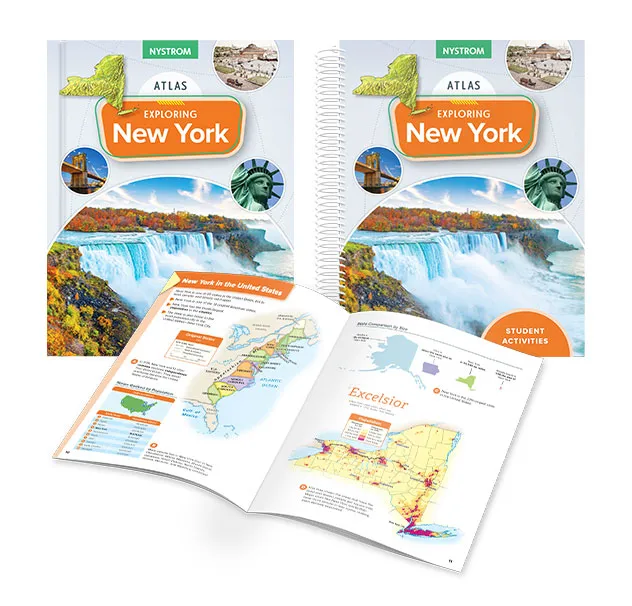
Also available in Spanish: Explorando Nueva York
Exploration
Students explore New York's history from its earliest peoples to the modern era, examining how geography shaped settlement, cultural development, economic growth, government, conflict, and change throughout the state's history.
Geographic Thinking
Students apply geographic reasoning to historical events by analyzing maps, graphs, charts, and photographs. They investigate how geography influenced people, places, and events while explaining change over time using evidence from visual and informational texts.
Literacy Skills
Students evaluate evidence across maps, graphs, charts, quotations, and other visual and informational texts while strengthening analytical reading, discussion, and writing. They synthesize information to develop and support evidence-based claims about New York's geography and history.
Explore the topics, geographic thinking, and literacy skills fourth graders develop in Texas classrooms.
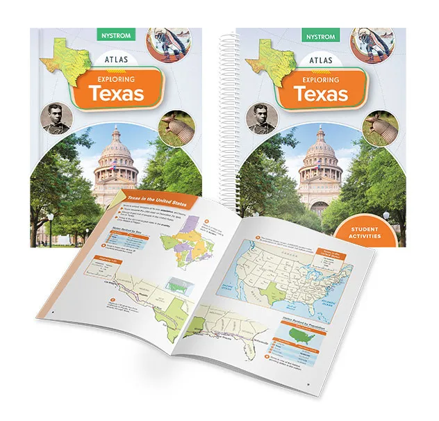
Also available in Spanish: Explorando Texas
Exploration
Students explore Texas history from its earliest peoples to the modern era, examining how geography shaped settlement, independence, statehood, economic development, culture, and change throughout the state's history.
Geographic Thinking
Students apply geographic reasoning to historical events by analyzing maps, graphs, charts, and quotations. They investigate how geography influenced people, places, and events while explaining change over time using evidence from visual and informational texts.
Literacy Skills
Students evaluate evidence across maps, graphs, charts, photographs, quotations, and other visual and informational texts while strengthening analytical reading, discussion, and writing. They synthesize information to develop and support evidence-based claims about Texas's geography and history.

Ready to learn more about our
Nystrom Elementary Atlases and Activities?
Reach out to your dedicated curriculum specialist.
Start a conversation