New Edition
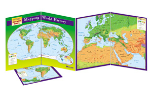
MAPPING WORLD HISTORY
Connect with a representative to create a custom curriculum for your district.
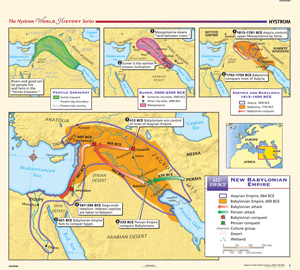
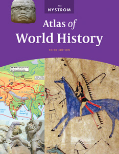
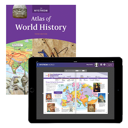
Use The Nystrom Atlas of World History plus markable activity maps to take students chronologically through the world's story line.
Visualize world history and merge tangible geographic context with historical events for deeper engagement without sacrificing rigor with this world history mapping program.
Complete Program Components
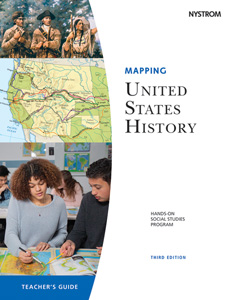
Teacher’s Guide
This comprehensive guide provides detailed teaching instructions, reproducible handouts for lessons that link history and geography, and assessments.
Foldout Activity Map
Foldout and double-sided markable activity maps (from 13″ × 19″ to 39″ × 19″) that show the United States, the world, the Americas, and Europe.
Bring Mapping World History to all the students in your district! Learn more here.
This title is part of the series: MAPPING WORLD HISTORY
| Publisher | Nystrom |
|---|---|
| Grade | 6–12 |
| ISBN | 9780782513974 |
 Sample pages from the guide