
NYSTROM WORLD ATLAS
Select your Materials
The Nystrom World Atlas Pack combines a visually rich classroom atlas with activities that help students investigate geography, analyze information, and think critically. Students explore all seven continents through maps, photographs, infographics, and other geographic information, then apply what they learn through activities designed to strengthen geographic literacy and content knowledge.
Components
- 30 copies of the Nystrom World Atlas
- Reproducible Student Activities book
- 5-year digital subscription
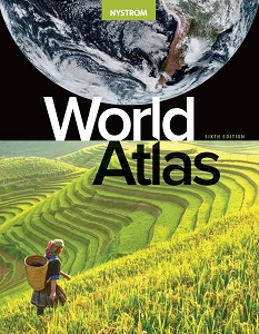
World Atlas
Explore all seven continents through engaging maps, photographs, infographics, primary sources, and text. The atlas helps students interpret geographic information, recognize patterns, and build understanding of the world.
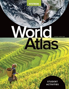
Student Activities
Reproducible activities guide students in reading maps, analyzing information, building content knowledge, and thinking critically while providing meaningful practice with geographic literacy skills.
| Copyright | 2026 |
|---|---|
| Size | 8½"x11" |
| Publisher | Nystrom Education |
| Pages | 152 |
| Edition | Sixth |
| Grade | 6–12 |
| Color | Color |
| ISBN | 9780782539769 |