
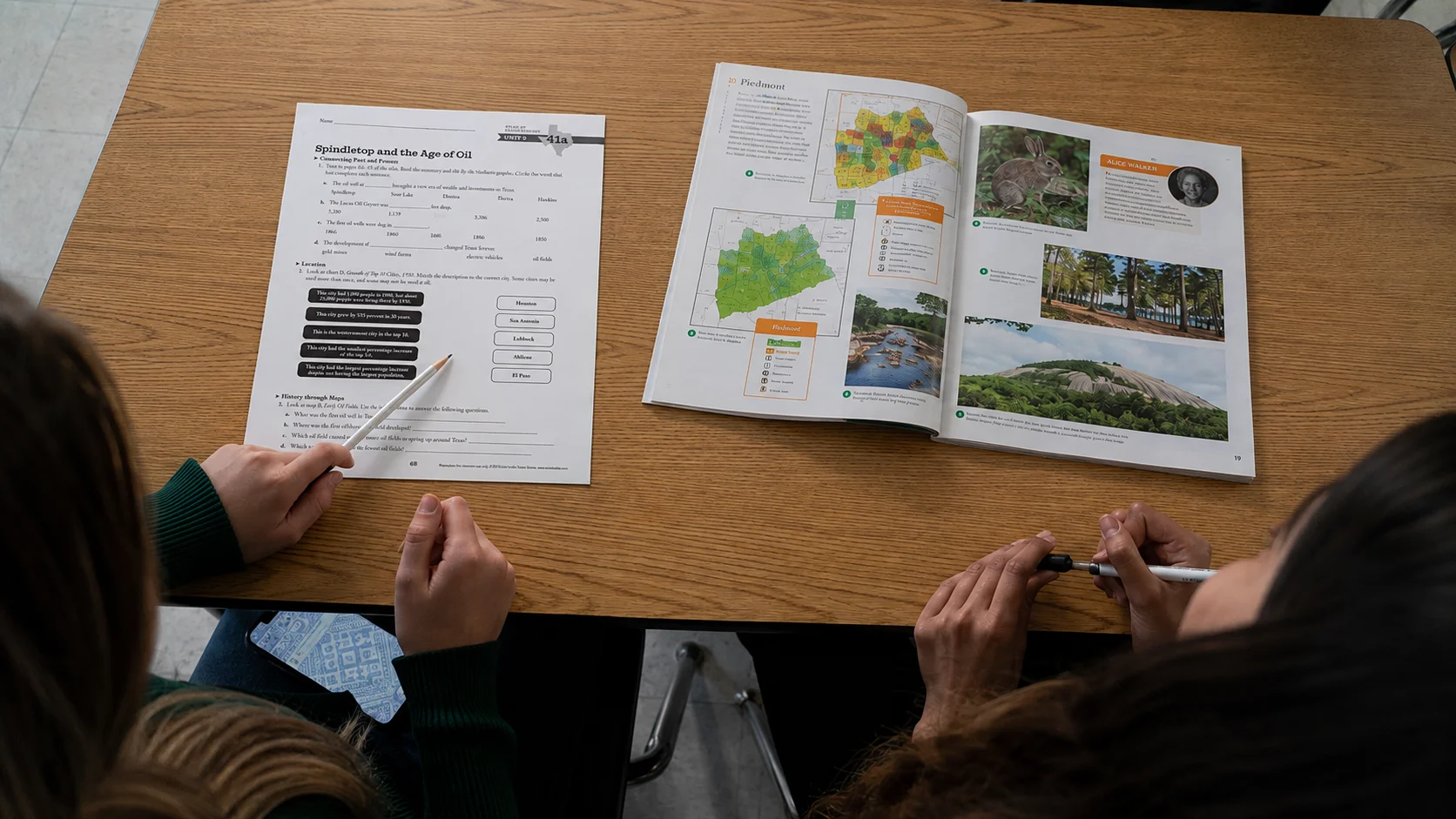

Deepening understanding through geography
Geographic Literacy for Every Learner
Build geographic literacy by helping students investigate U.S. history, world history, and geography through engaging atlases paired with activities. Students build background knowledge before locating, interpreting, analyzing, and applying information from maps and other visual and informational sources—developing the historical thinking, geographic thinking, and critical thinking skills needed to make meaningful connections across time and place.
See What’s Inside
Explore the content, skills, and perspectives students develop through this atlas and its accompanying activities.
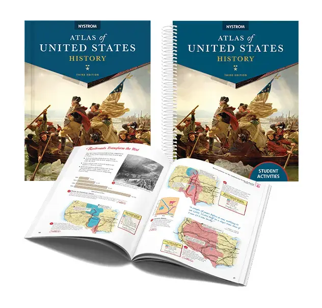
Geographic Literacy
Students build the background knowledge needed to understand the people, places, and events that shaped the United States. The accompanying activities use maps and other visual and informational sources to help students locate, interpret, analyze, and apply information about exploration, expansion, migration, conflict, and change over time.
Historical Thinking
Organized chronologically by era, the atlas combines historical maps, timelines, photographs, and other visual sources to help students build historical context from the first encounters in the Americas to the twenty-first century.
Critical Thinking
Students analyze historical evidence, identify patterns, compare perspectives, and draw conclusions as they investigate the people, events, and ideas that shaped the nation.
Regional & Global Perspectives
Historical overviews and Historical Issues Today articles connect the past to the present. Students examine topics such as westward expansion, industrialization, the Vietnam War, and the impact of September 11 to understand how history continues to shape our nation.
Explore the content, skills, and perspectives students develop through this atlas and its accompanying activities.
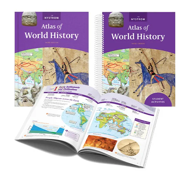
Geographic Literacy
Students build the background knowledge needed to understand civilizations and their global connections. The accompanying activities use maps and other visual and informational sources to help students locate, interpret, analyze, and apply information as they investigate trade, cultural exchange, innovation, and historical change.
Historical Thinking
Organized chronologically from the earliest civilizations to the modern world, the atlas uses maps, timelines, photographs, and other visual sources to illustrate change over time and the development of global societies.
Critical Thinking
Students compare civilizations, evaluate historical evidence, recognize patterns across regions and eras, and examine multiple perspectives to better understand global history.
Regional & Global Perspectives
Historical overviews and Historical Issues Today articles encourage students to explore enduring questions about civilizations and global change, from the legacy of the Mongol Empire to imperialism in Africa and conflict in the Middle East.
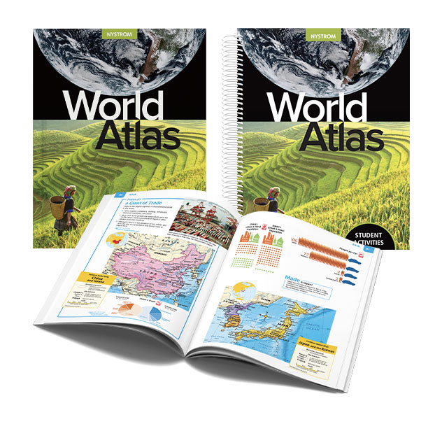
Geographic Literacy
Students build the background knowledge needed to understand Earth’s physical and human geography. The accompanying activities use regional and thematic maps, graphs, charts, photographs, and other visual and informational sources to help students locate, interpret, analyze, and apply information about the world’s people, places, and environments.
Geographic Thinking
Students investigate continents and regions through political, physical, land cover, elevation, and thematic maps, building the skills to interpret geographic information and recognize spatial patterns.
Critical Thinking
Students analyze thematic maps, graphs, charts, and other visual information to identify patterns, compare regions, and explain how physical and human systems interact.
Regional & Global Perspectives
Every continent begins with a vibrant two-page introduction featuring engaging photography, key physical and human facts, and regional context before students explore detailed maps and thematic studies.
Explore the content, skills, and perspectives students develop through this atlas and its accompanying activities.
Geographic Literacy
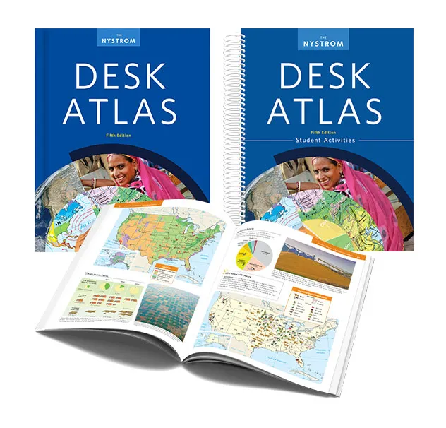
Students develop geographic literacy through political, physical, thematic, and regional maps that help them investigate the world’s people, places, and environments.
Geographic Thinking
Students compare regions using multiple map types, cross sections, and thematic data to understand how physical and human geography shape our world.
Critical Thinking
Students interpret maps, graphs, diagrams, and tables to identify patterns, evaluate evidence, and solve geographic questions using multiple sources of information.
Regional & Global Perspectives
Regional overviews and Issues Today articles connect geographic knowledge to contemporary challenges. Students investigate topics such as immigration, rain forest deforestation, refugees, population growth, and sea level rise to better understand our interconnected world.
Explore the topics, geographic thinking, and literacy skills secondary students develop using the atlas and its activities.
Exploration
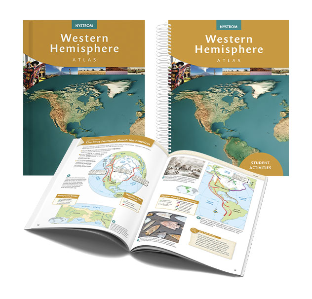
Students explore the people, places, and events that have shaped the Western Hemisphere, discovering how geography has influenced migration, settlement, cultural exchange, economic development, and change across North America, Mesoamerica, the Caribbean, and South America.
Geographic Thinking
Students apply geographic thinking to analyze physical and political maps, historical events, and regional patterns. They investigate relationships among people, places, and environments while explaining how geography influences culture, economies, governments, and societies over time.
Literacy Skills
Students evaluate evidence across maps, timelines, primary and secondary sources, and other visual and informational texts while strengthening analytical reading, discussion, and writing. They synthesize information to develop and support evidence-based claims.
Explore Your State Atlas
Explore the content, skills, and perspectives students develop through this atlas and its accompanying activities.
Geographic Literacy
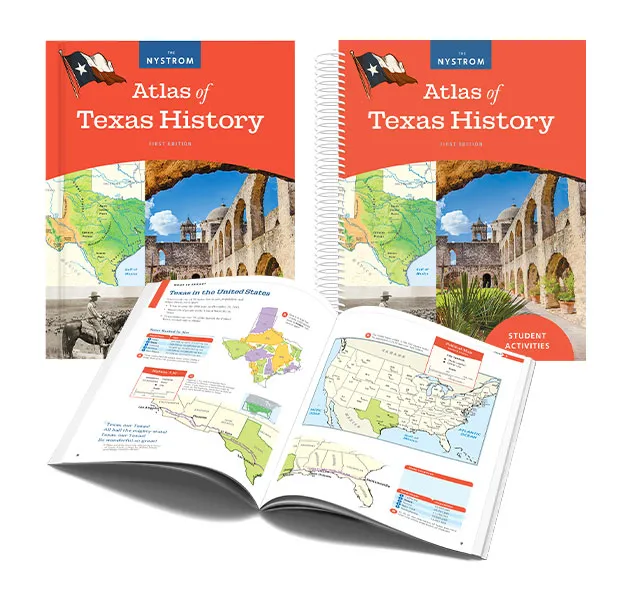
Students build the background knowledge needed to understand Texas history and geography. Activities engage students with historical and reference maps, graphs, charts, photographs, and illustrations as they explore the state’s physical regions, people, settlement, economy, and change over time.
Historical Thinking
Organized chronologically, the atlas and activities help students understand patterns of change and continuity across Texas history. Students use maps, timelines, images, captions, and other sources to connect events and examine how the past has shaped the present.
Critical Thinking
Students gather historical information, compare sources, identify evidence, examine cause and effect, and draw conclusions. Inquiry and literacy activities extend that thinking by asking students to develop questions, evaluate details, interpret maps and data, and support ideas with evidence.
Regional & National Perspectives
Students connect Texas history to broader developments across the region and the nation. Exploration, settlement, migration, economic growth, and cultural change help students understand how Texas both shaped and was shaped by the larger American story.
Explore the content, skills, and perspectives students develop through this atlas and its accompanying activities.
Geographic Literacy
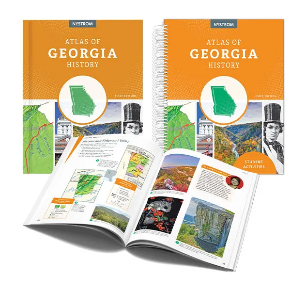
Students build the background knowledge needed to understand Georgia’s history and geography. Maps, graphs, charts, photographs, and illustrations help students explore the state’s physical characteristics, people, communities, economy, and historical development.
Historical Thinking
Organized chronologically, the atlas and activities help students develop a sense of time, change, and continuity. Students use maps, graphs, pictures, captions, and timelines to investigate Georgia history and make connections between past events and the present.
Critical Thinking
Students gather information, compare and contrast, identify evidence, examine cause and effect, and draw conclusions as they investigate Georgia history. Supplemental literacy lessons and inquiry opportunities deepen analytical thinking and give students practice using information from multiple types of sources.
Regional & National Perspectives
Students connect Georgia history to broader developments across the region and the nation. Exploration, settlement, migration, economic change, and cultural exchange help students understand Georgia’s place in the larger American story.
Explore the content, skills, and perspectives students develop through this atlas and its accompanying activities.
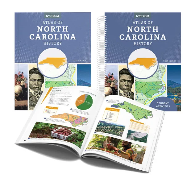
Geographic Literacy
Students build the geographic knowledge needed to make sense of North Carolina’s history. Political and physical maps, graphs, photographs, and other visual sources help students understand locations, regions, landscapes, people, and the relationships between communities and their environments.
Historical Thinking
Students use chronological information in maps, graphs, pictures, captions, and timelines to examine change and continuity across North Carolina history. Activities help students connect events, people, and places while considering how the past continues to affect the present.
Critical Thinking
Students move beyond gathering facts to compare and contrast information, identify evidence, examine cause and effect, and draw conclusions. Activities encourage students to ask historical questions and use atlas evidence to develop and communicate their thinking.
Regional & National Perspectives
Students connect North Carolina history to broader developments across the region and the nation. Migration, economic growth, cultural change, and connections with other places help students understand how the state developed within the larger American story.
Explore the content, skills, and perspectives students develop through this atlas and its accompanying activities.
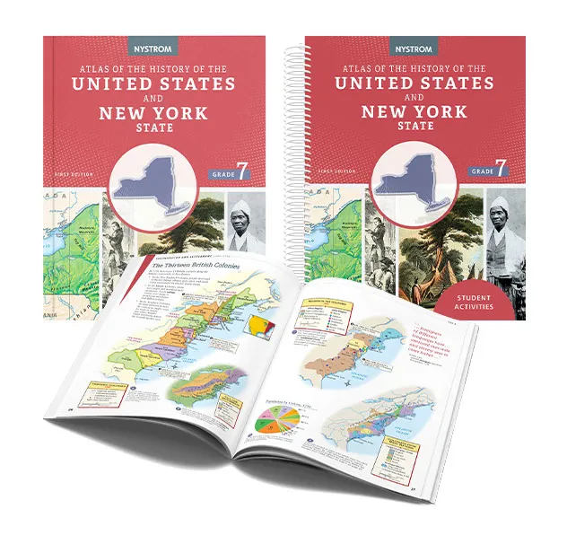
Geographic Literacy
Students build the background knowledge needed to understand the people, places, and events that shaped New York and the United States. Activities guide students from getting started to locating, interpreting, analyzing, and applying information from maps and other visual and informational sources.
Historical Thinking
Organized chronologically, the atlas traces United States and New York history from the first peoples in the Americas through the Civil War and Reconstruction. Maps, timelines, photographs, and other sources help students explore exploration, colonization, revolution, expansion, reform, and conflict within their historical and geographic contexts.
Critical Thinking
Students examine cause and effect, compare perspectives, and draw conclusions as they explore encounters among cultures, settlement, expansion, reform, and conflict. Activities challenge students to construct arguments and consider how pivotal events and decisions shaped the development of New York and the nation.
Regional & National Perspectives
Students connect New York history to the development of the United States, exploring how settlement, revolution, expansion, reform, and the Civil War shaped both the state and the nation.
Explore the content, skills, and perspectives students develop through this atlas and its accompanying activities.
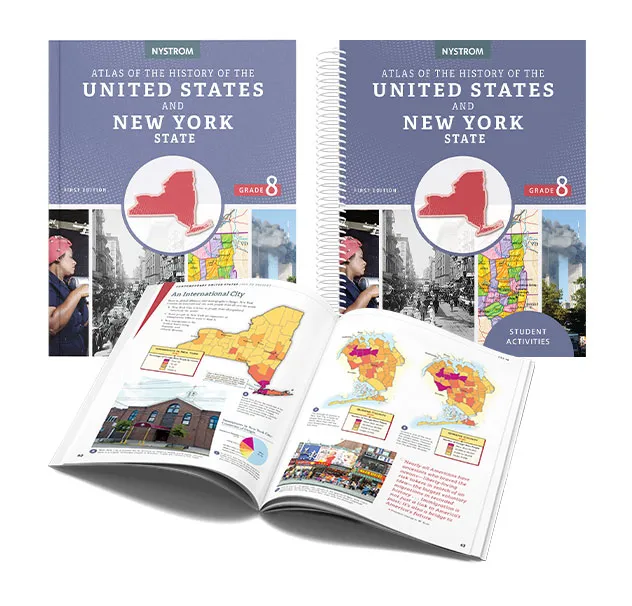
Geographic Literacy
Students build the background knowledge needed to understand modern United States and New York history. Activities guide students from getting started to locating, interpreting, analyzing, and applying information from maps, graphs, charts, photographs, illustrations, and other atlas resources.
Historical Thinking
Organized chronologically from industrialization through the contemporary United States, the atlas uses historical maps, graphs, photographs, quotations, and other sources to build context for immigration, urbanization, war, social change, economic development, and other major transformations.
Critical Thinking
Students analyze patterns, relationships, and competing perspectives as they investigate the forces that transformed modern New York and the United States. Activities ask students to evaluate historical decisions, construct evidence-based arguments, and consider the impact of economic, social, political, and global change.
Regional & National Perspectives
Students connect New York history to developments across the United States, examining how immigration, industrialization, urban growth, war, economic change, and contemporary issues shaped both the state and the nation.

Ready to learn more about our
Nystrom Secondary Atlases and Activities?
Reach out to your dedicated curriculum specialist.
Start a conversation