
Foundations for social studies success
Where Students Learn to Read New York and the World
Encompass was created to ensure every elementary student builds a strong foundation in geographic literacy by actively exploring the world through atlases, maps, and globes. By providing short, engaging activities that integrate literacy into social studies, the program empowers teachers to spark curiosity while equipping young learners with the skills and background knowledge they need to thrive in K-5 and beyond.

Why Encompass?
Anatomy of an Activity

Step into an
Encompass classroom
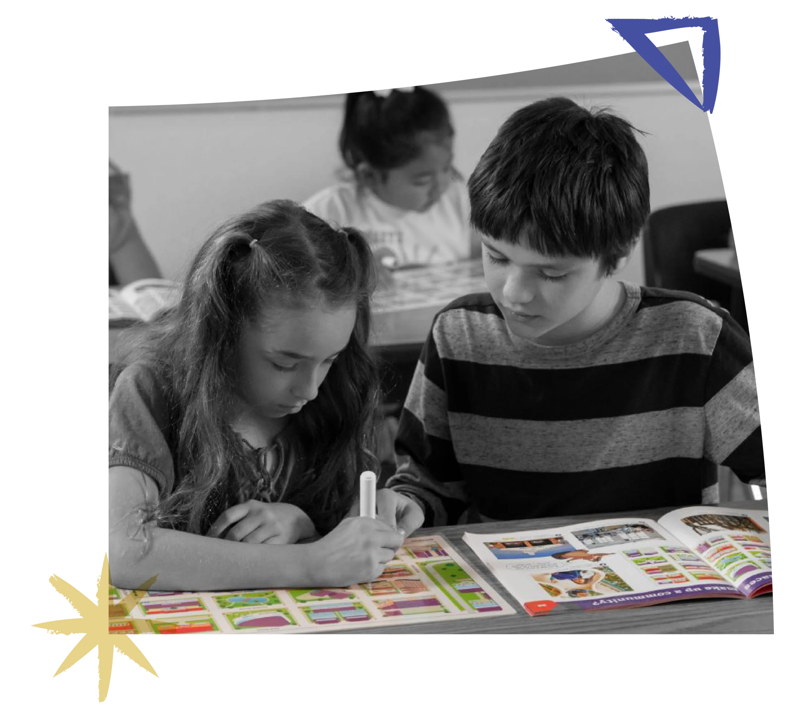
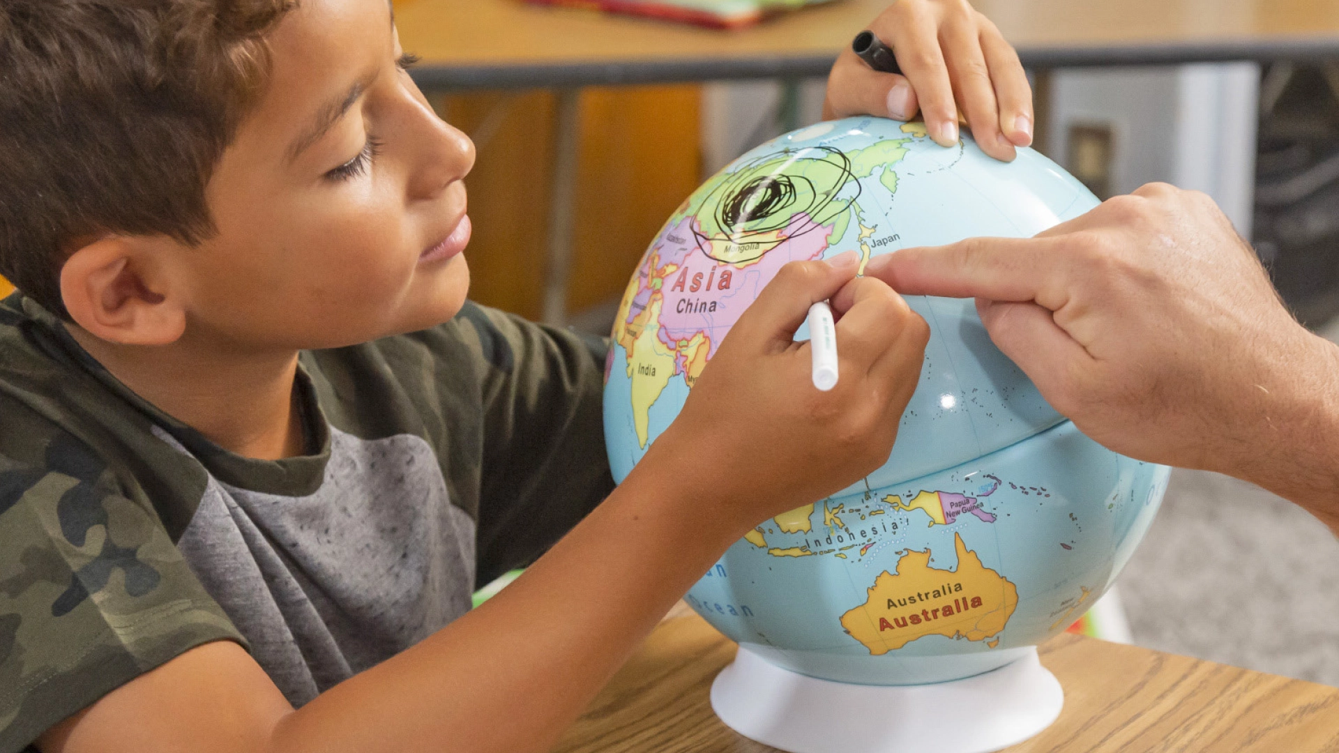
You’ll see the teacher walking students through a colorful spread in their Student Atlas, modeling how to read a map key, study a graph, or examine a photograph. Together, they ask questions and notice details. Then students turn to their Markable Desk Maps and Globes, drawing arrows, circling locations, and tracing routes, applying what they’ve learned.
Next, small groups examine primary sources and images up close on their Social Studies Place Mat. They compare details and explain their thinking. As they talk and share with the class, students build confidence, owning their learning while strengthening the geographic skills that connect places, people, and events.
See What’s Inside
Each grade level includes a tailored set of components. Explore what’s included at every step of the K–5 journey.
Teacher’s Guide
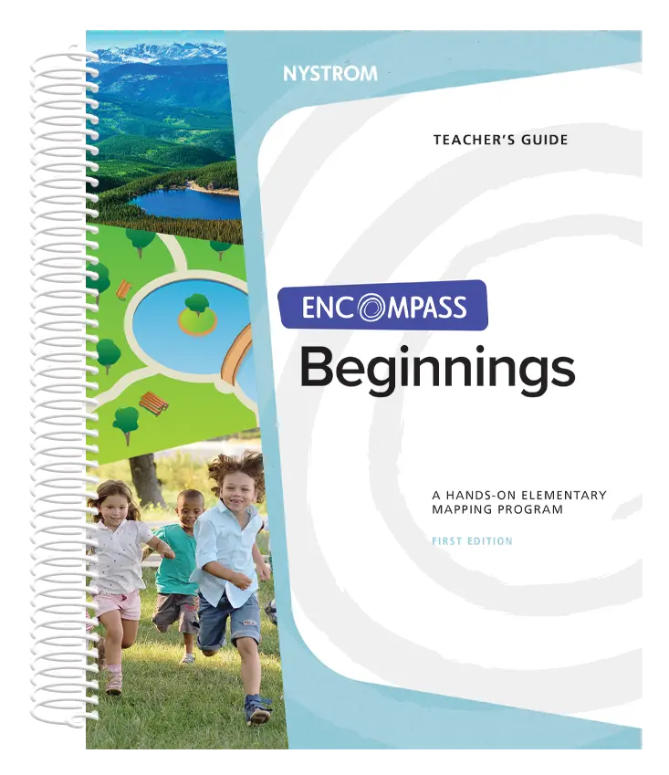
Short, ready-to-teach activities focused on family, school, neighborhoods, and community. Structured discussion and guided exploration help every child participate confidently.
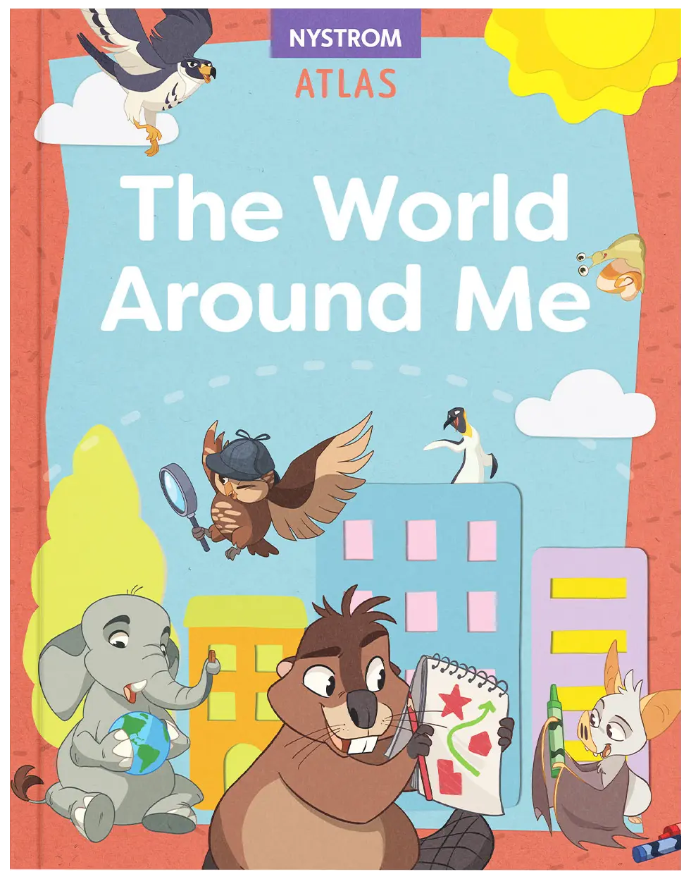
Student Atlas
Introduces social studies through familiar experiences, guiding students from neighborhoods to the wider world. Simple maps and questions build geographic awareness and literacy skills.
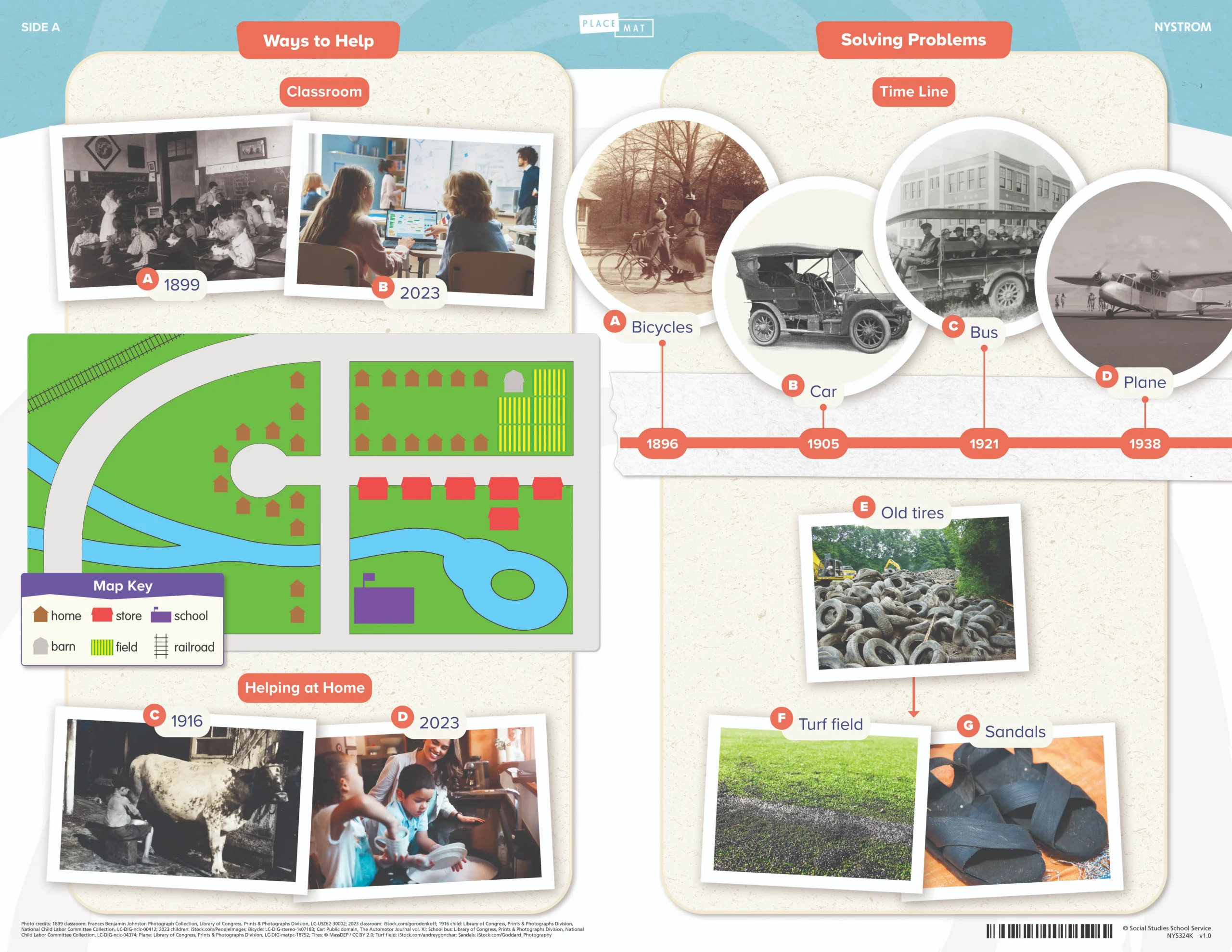
Social Studies Place Mat
Primary and secondary sources illustrate helping your community, our country, and our world, and a basic timeline helps kindergartners learn about solving problems.
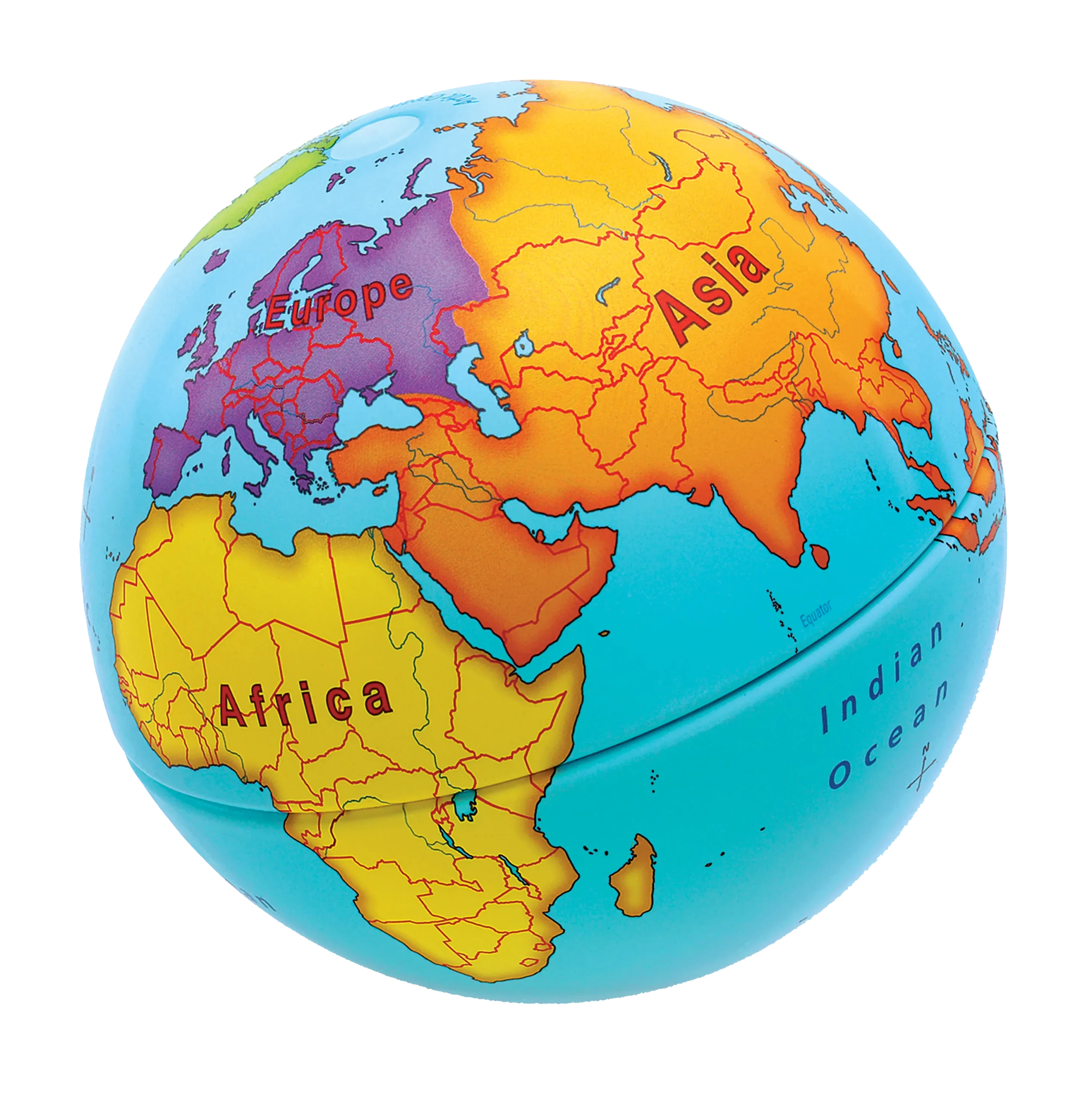
Markable Desk Maps & Globe
Students build early map skills as they explore their neighborhood, country, and continents. They also identify symbols, direction, land and water, and basic features with confidence.
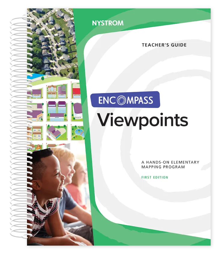
Teacher’s Guide
Short, ready-to-teach activities on neighborhoods, communities, and the U.S. Teacher modeling and guided discussion help students build confidence using maps and sharing ideas.
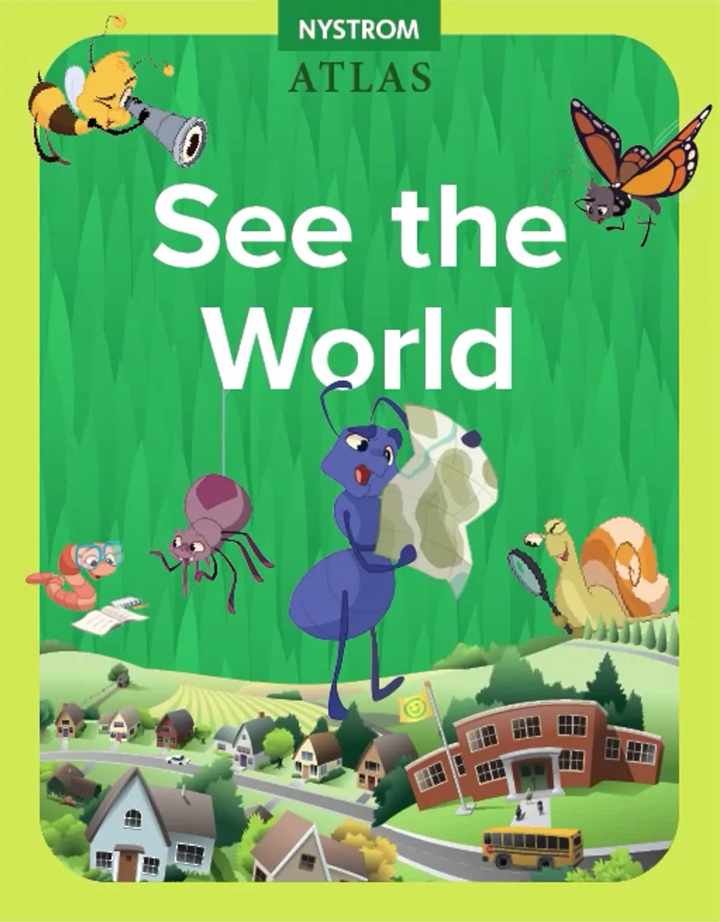
Student Atlas
Expands students’ view beyond their neighborhood to the United States and the world. Simple maps, photos, and questions strengthen geographic awareness and reading skills.
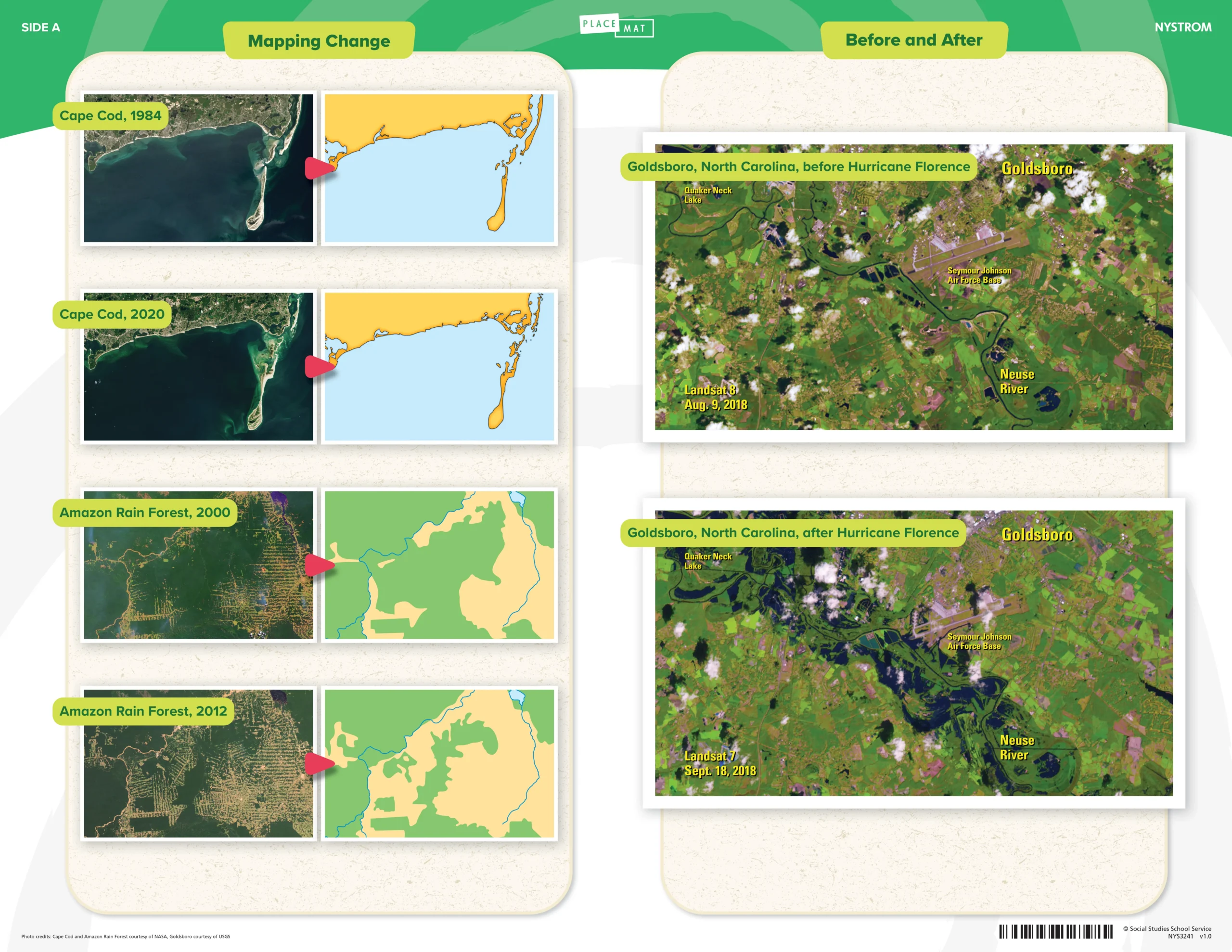
Social Studies Place Mat
Primary and secondary sources illustrate the concept of change and maps with symbols and charts help first graders explore food production and natural resources.
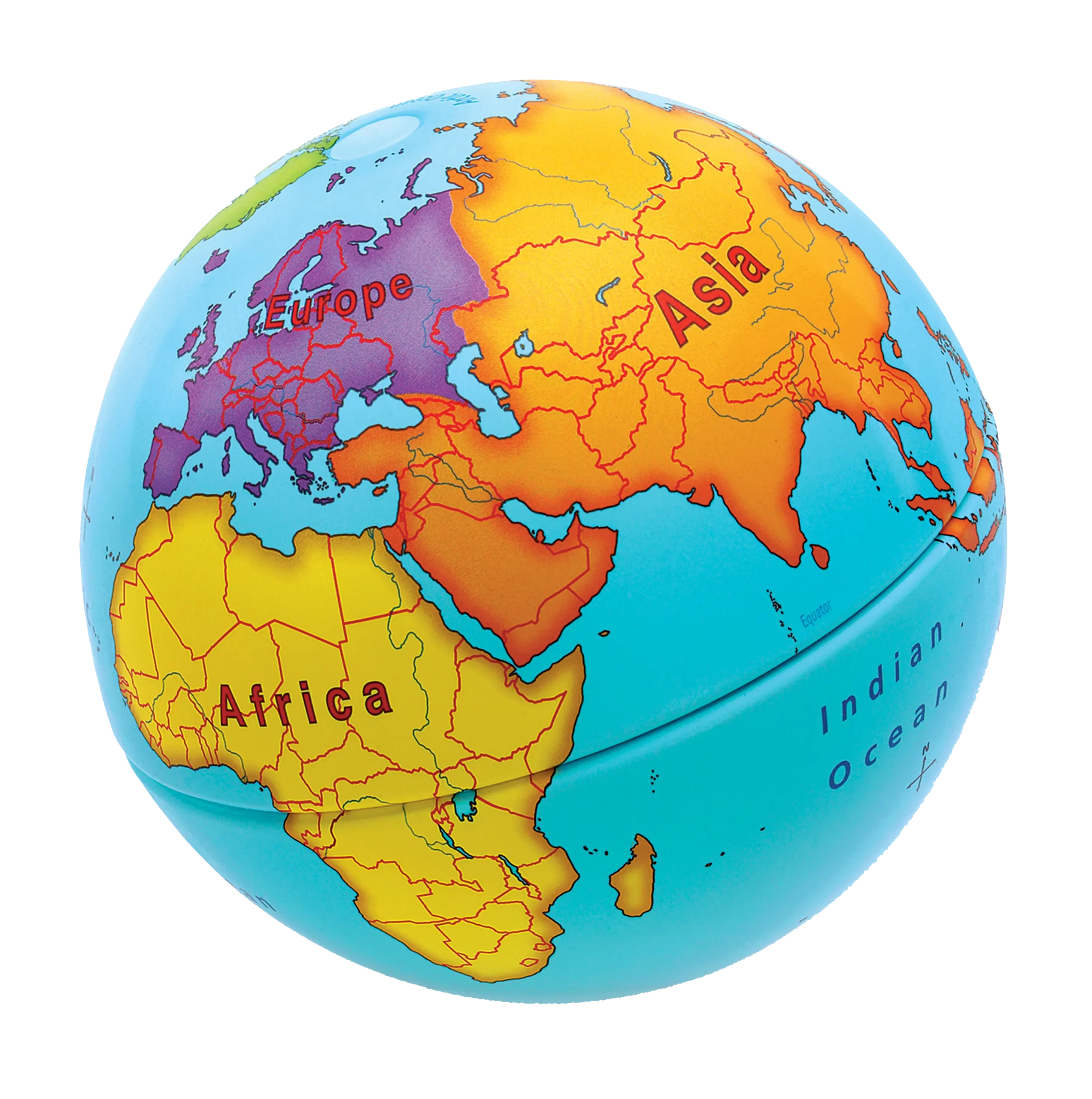
Markable Desk Maps & Globe
Students practice map skills as they locate states, continents, and oceans. They also identify symbols, directions, and geographic features while building spatial awareness.
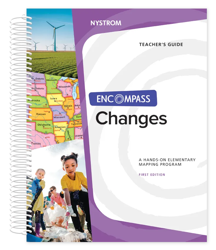
Teacher’s Guide
Short, ready-to-teach activities on communities, citizenship, and change over time. Guided inquiry and discussion help students investigate how people and places change.
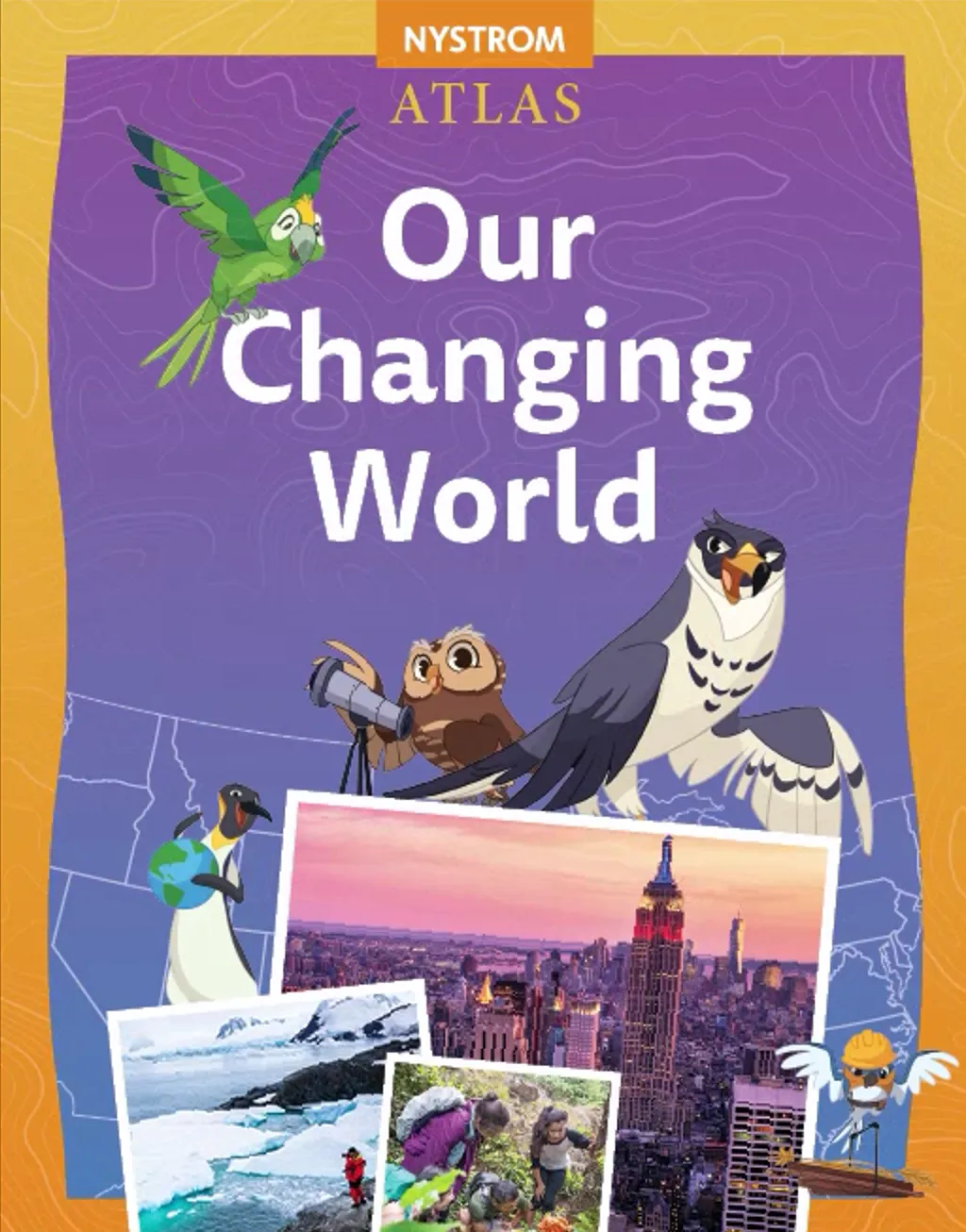
Student Atlas
Explores communities, the U.S., and the world while highlighting how places change over time. Maps, photos, and questions strengthen geographic understanding and literacy skills.
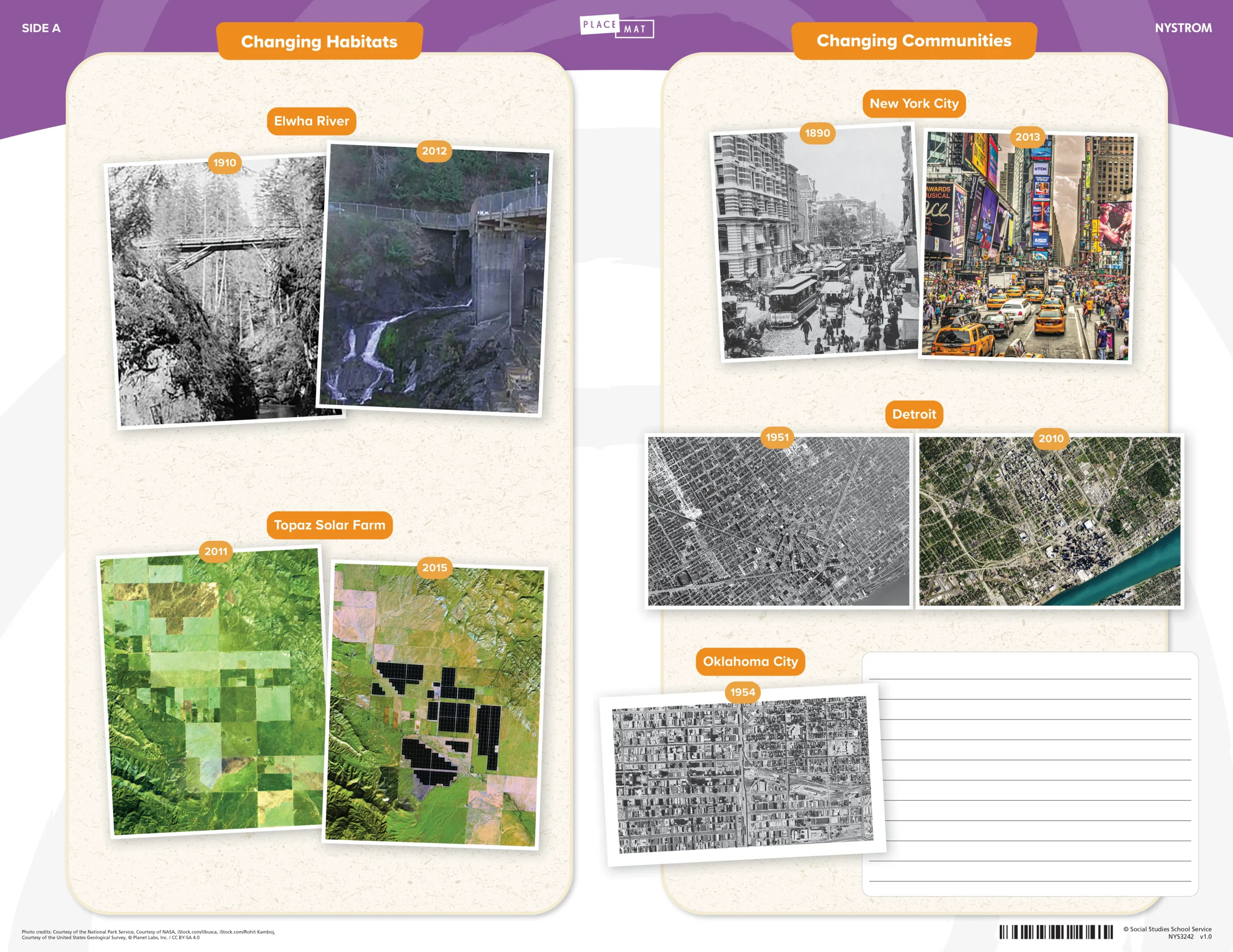
Social Studies Place Mat
Primary and secondary sources, maps with graphs, and a simple timeline illustrate changing habitats, communities, populations, and resources over time.
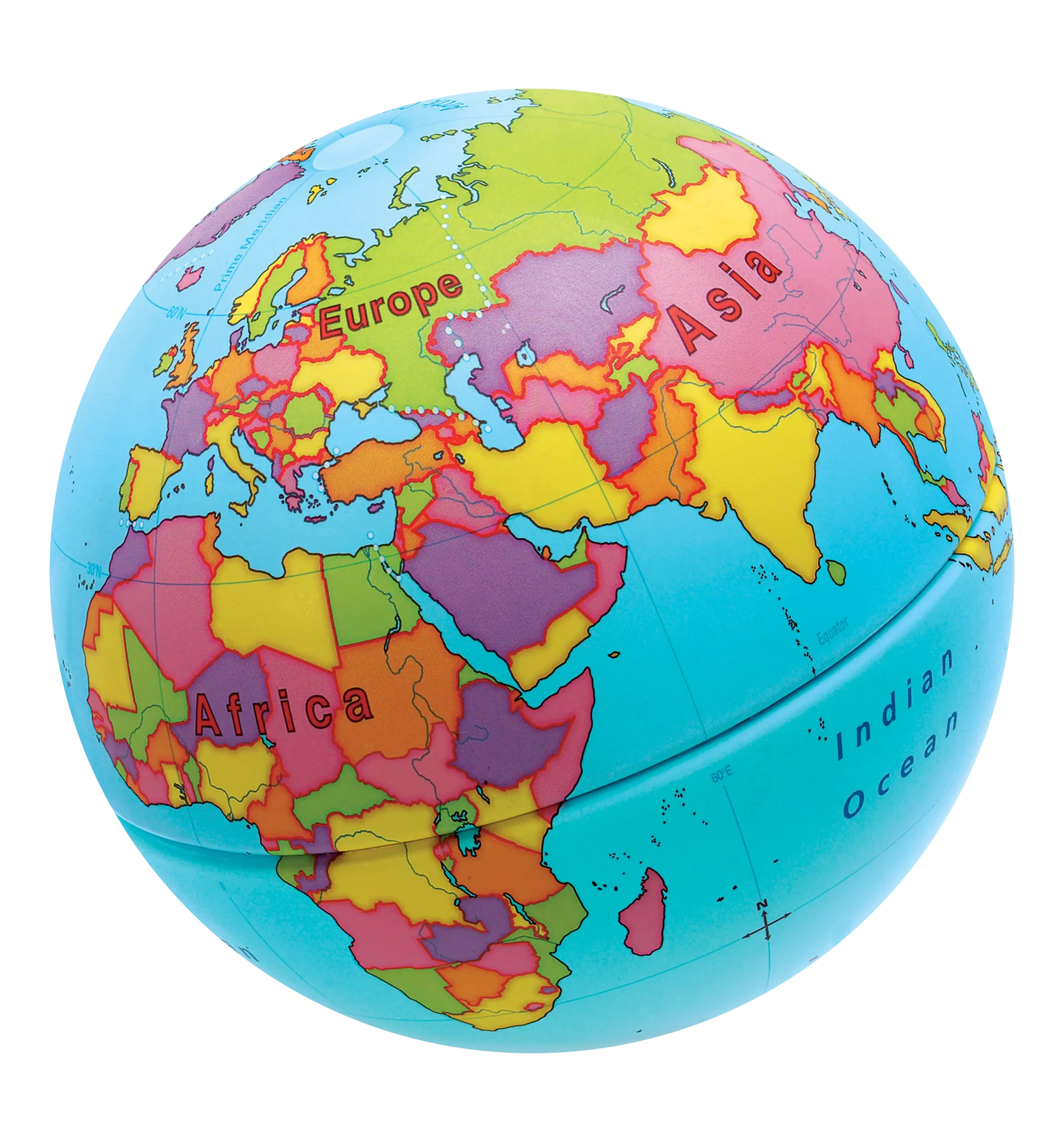
Markable Desk Maps & Globe
Students explore regions, natural features, and communities while strengthening map-reading skills. They also identify directions, borders, and key features with growing confidence.
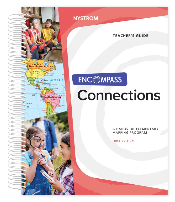
Teacher’s Guide
Short, ready-to-teach activities explore regions, resources, and global connections. Discussion and inquiry help students explore connections between people, places, and regions.
Student Atlas
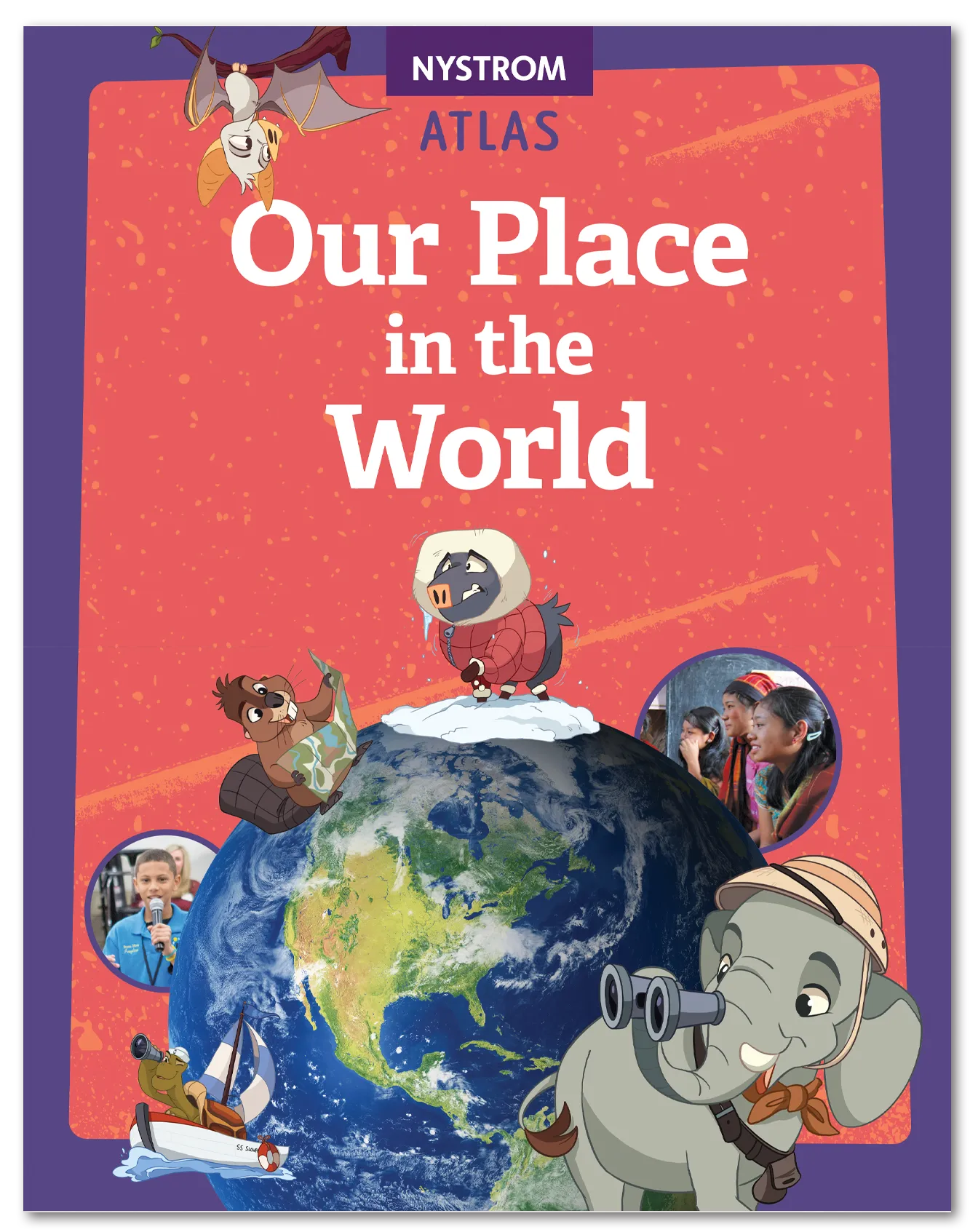
Explores continents, regions, and cultures around the world. Maps, images, and guiding questions strengthen geographic reasoning and analytical reading skills.
Social Studies Place Mat
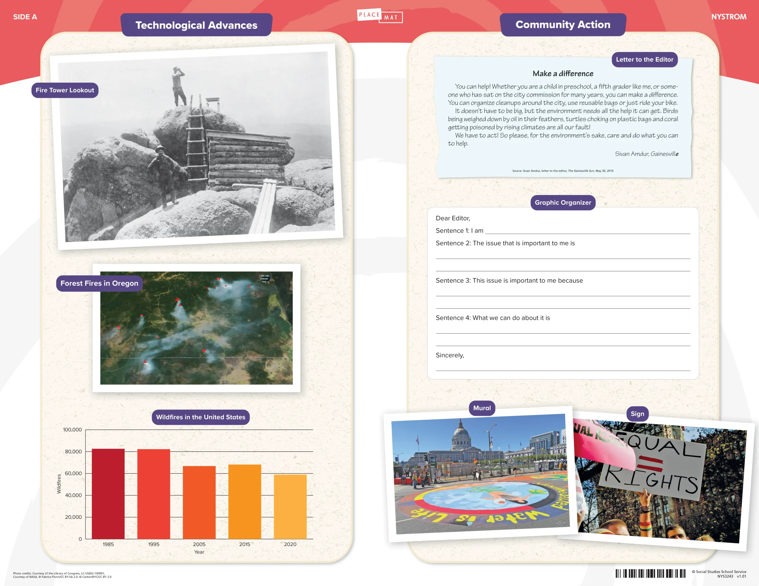
Primary and secondary sources and a graphic organizer help third graders better understand technological advances and community action locally and globally.
Markable Desk Maps & Globe
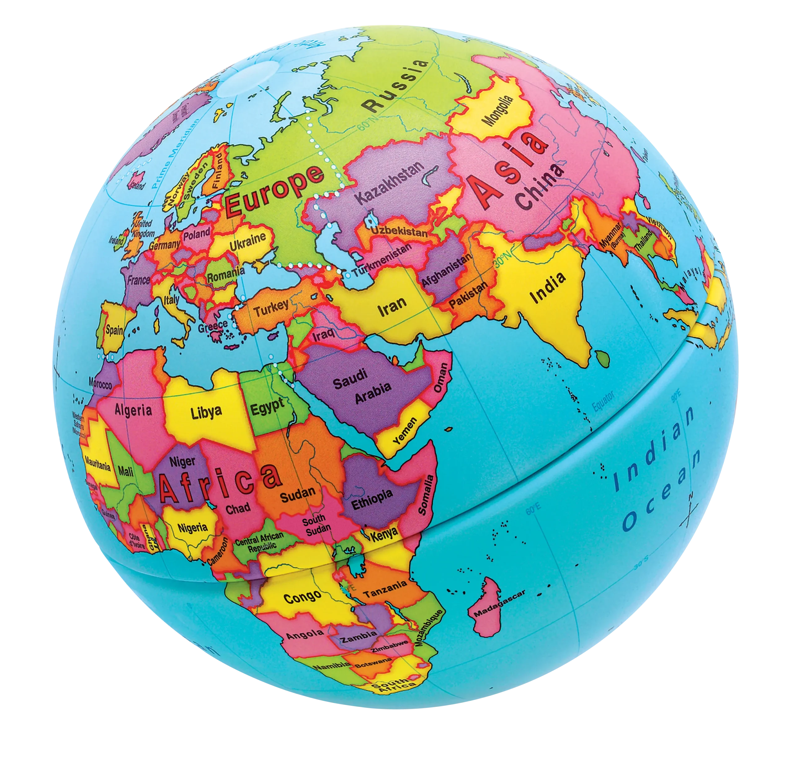
Students locate countries, continents, and climate regions while practicing map skills. They also identify patterns, regions, and geographic relationships across the world.
Teacher’s Guide
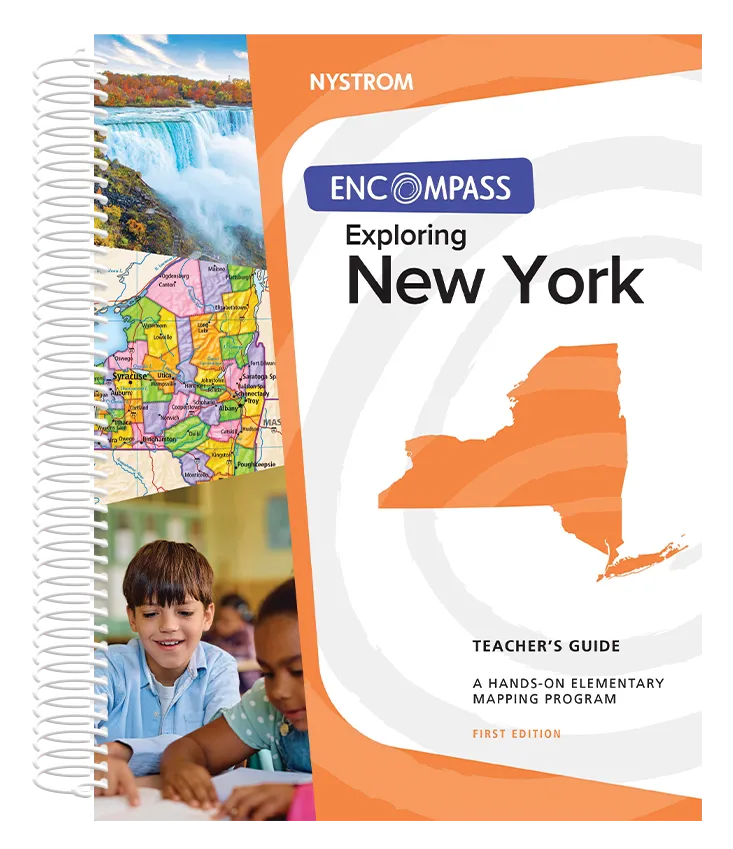
Short, ready-to-teach activities that examine New York’s history and geography. Guided analysis and discussion help students explore regions, historical events, and cultures.
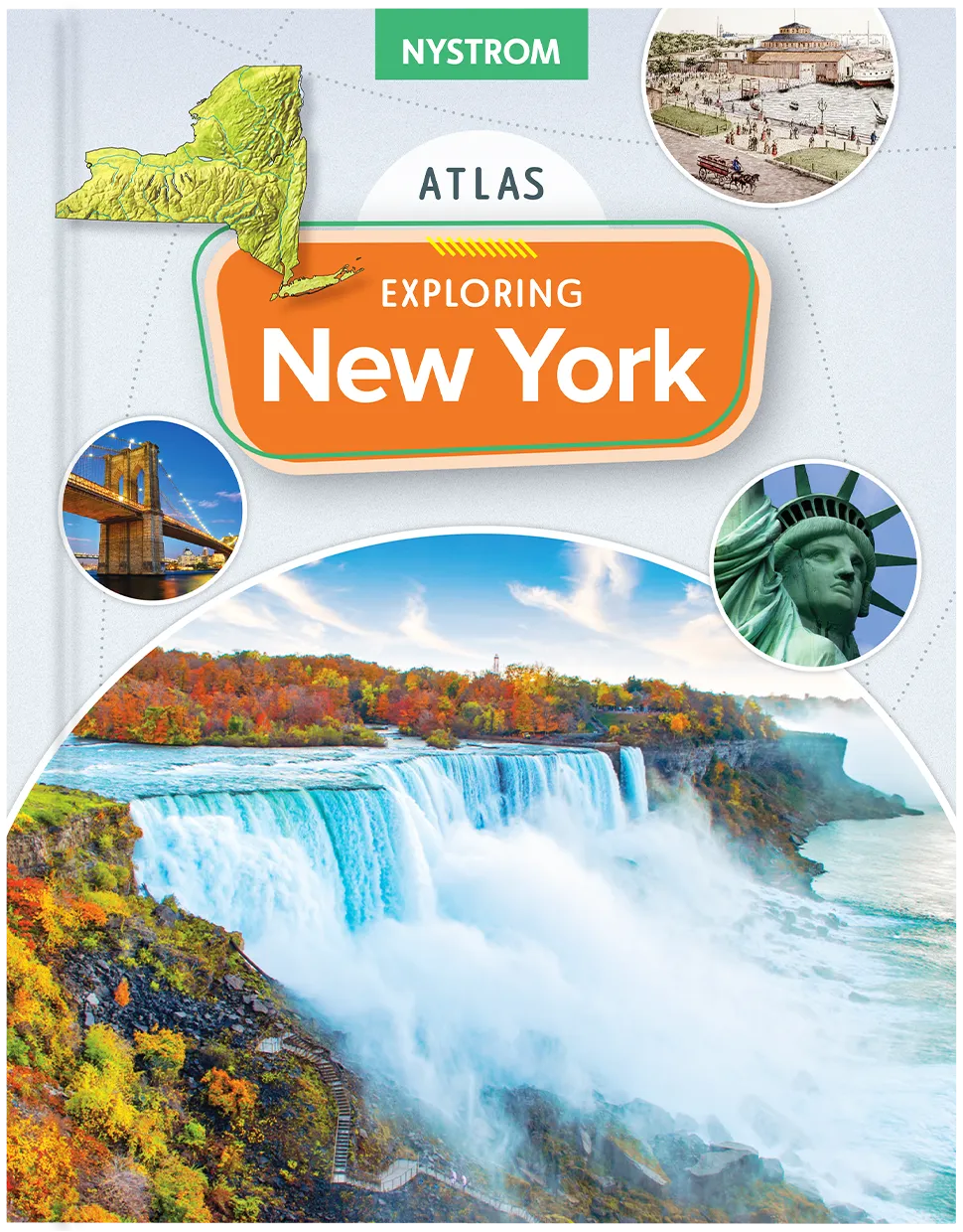
Student Atlas
Explores the history and geography of New York. Maps, data visuals, and guiding questions help students analyze regions and interpret geographic information.
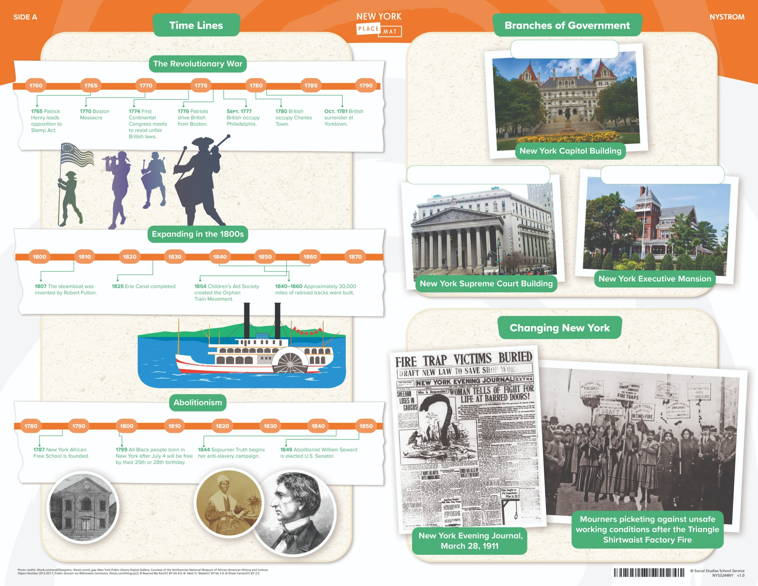
Social Studies Place Mat
Timelines, maps, graphic organizers, and historical sources help students explore New York history and geography, make connections across time, and build geographic understanding.
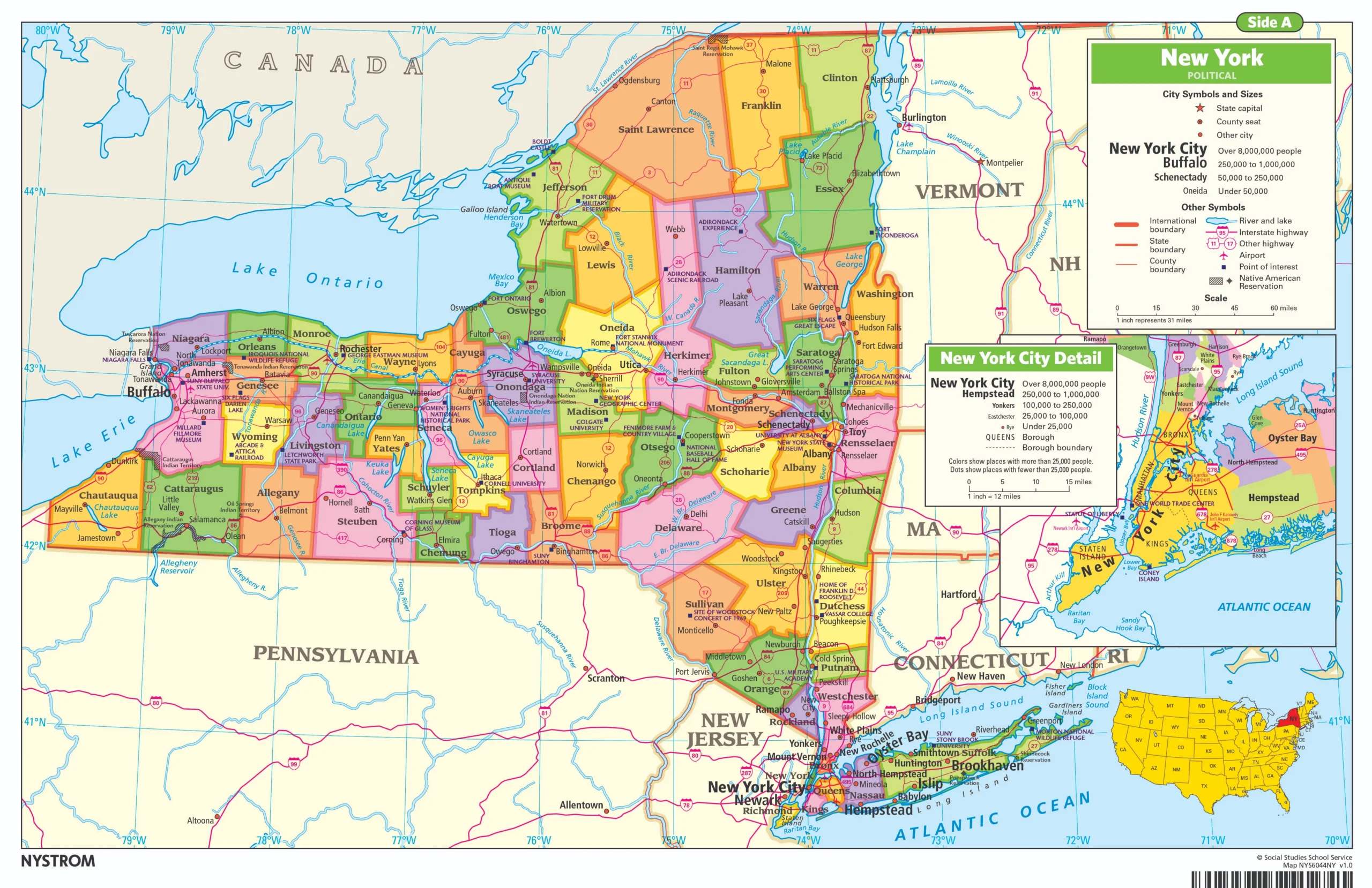
Markable Desk Maps & Globe
Students use New York and U.S. maps and a globe to explore regions, landforms, and geographic patterns while building map-reading and geographic-literacy skills.
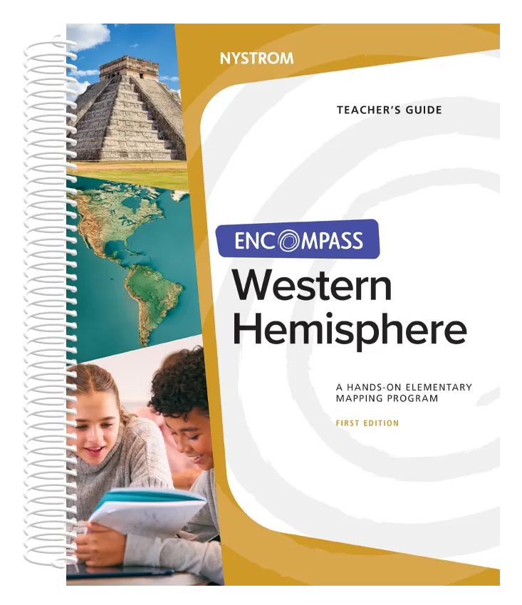
Teacher’s Guide
Short, ready-to-teach activities that examine the Western Hemisphere’s history and geography. Guided analysis and discussion help students explore regions, cultures, events, and geographic patterns.
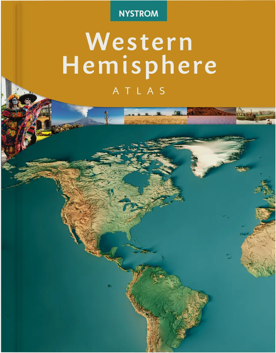
Student Atlas
Explores the history and geography of the Western Hemisphere. Maps, data visuals, and guiding questions help students analyze regions, compare cultures, and interpret geographic information.
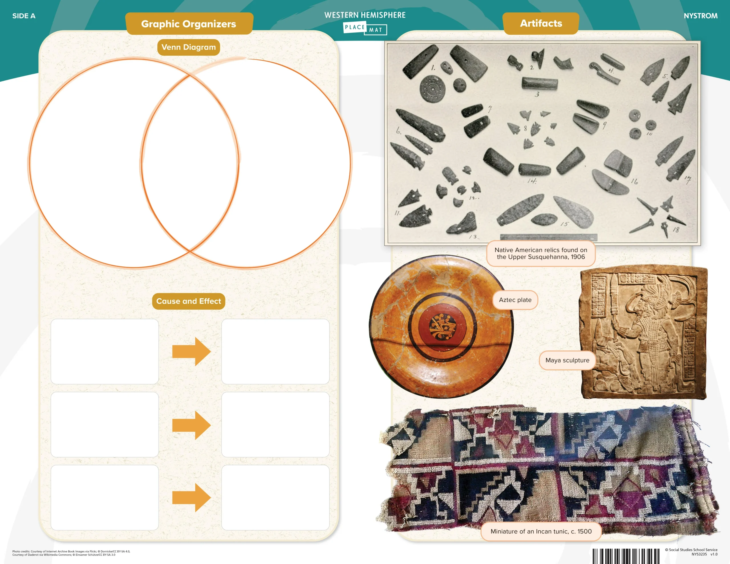
Social Studies Place Mat
Graphic organizers, artifacts, maps, and primary sources help students explore the Western Hemisphere, make connections across time, and strengthen geographic understanding.
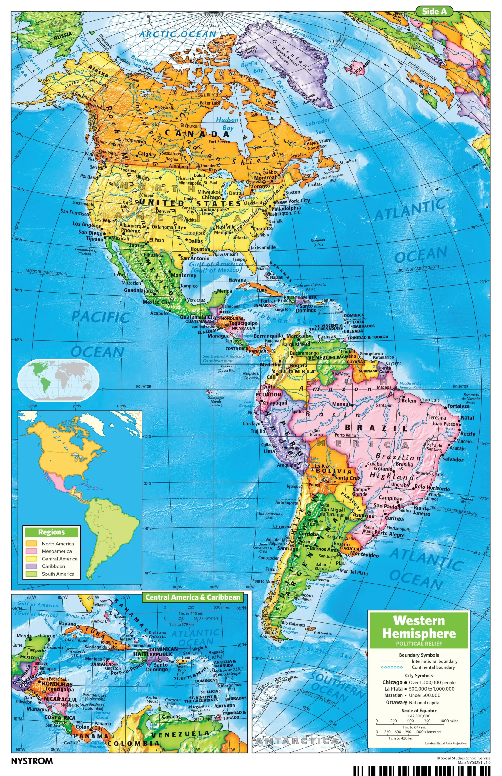
Markable Maps & Globe
Students use a detailed Western Hemisphere map to identify countries, regions, physical features, and political boundaries while building map-reading and geographic-literacy skills.
Ready to learn more about
Encompass for New York?
Reach out to your dedicated curriculum specialist.
Start a conversation